Transport Functions
Rail
Road
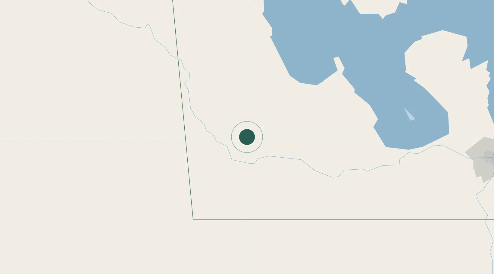
Hub Profile
Place type
Populated place
Region
Manitoba
Time zone
America/Winnipeg
Elevation
520 m
Location
Nearby Logistics Neighbours
Cities
- 1Rapid City41 km
- 2Virden43 km
- 3Elkhorn50 km
- 4Minnedosa55 km
- 5Decker59 km
Ports
- 1Duluth731 km
- 2Superior735 km
- 3Two Harbors745 km
- 4Grand Marais796 km
- 5Bayfield812 km
Airports
Trade Zones
- 1Winnipegs Centreport Canada249 km
- 2Global Transportation Hub Authority296 km
- 3FTZ No. 103 Grand Forks354 km
- 4FTZ No. 267 Fargo455 km
- 5FTZ No. 259 Koochiching County502 km
DatabookThe Record of Consolidated Knowledge
Canada beyond logistics?