Transport Functions
Port
Road
Multimodal
Hub Profile
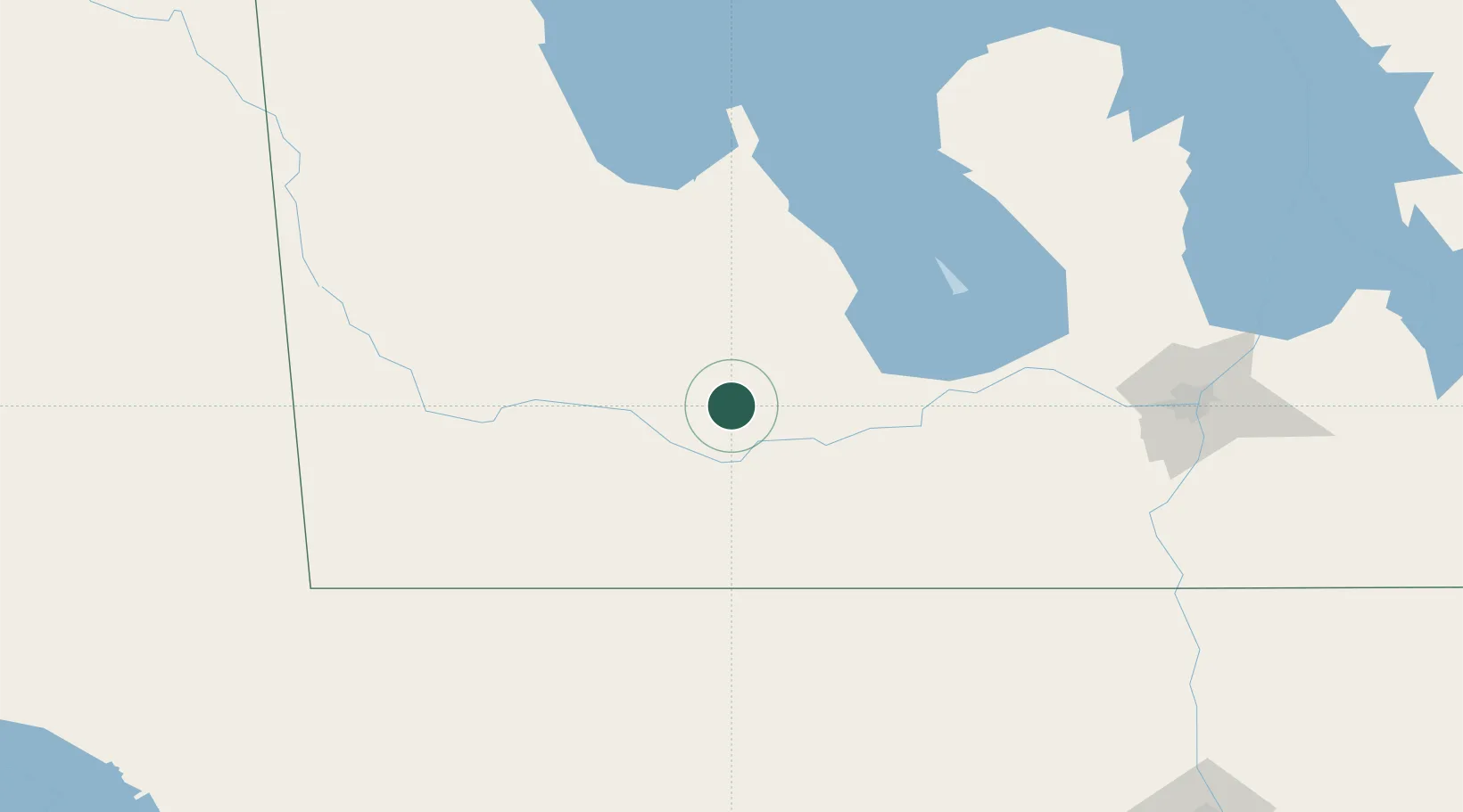
Place type
Populated place
Region
Manitoba
Population
1,738
Time zone
America/Winnipeg
Elevation
385 m
Location
Nearby Logistics Neighbours
Cities
- 1Shilo21 km
- 2Stockton32 km
- 3Minnedosa55 km
- 4Rapid City56 km
- 5Dunrea57 km
Ports
- 1Duluth637 km
- 2Superior641 km
- 3Two Harbors650 km
- 4Grand Marais701 km
- 5Bayfield717 km
Airports
Trade Zones
- 1Winnipegs Centreport Canada159 km
- 2FTZ No. 103 Grand Forks269 km
- 3FTZ No. 267 Fargo378 km
- 4Global Transportation Hub Authority390 km
- 5FTZ No. 259 Koochiching County407 km
DatabookThe Record of Consolidated Knowledge
Canada beyond logistics?