Transport Functions
Rail
Road
Airport
Hub Profile
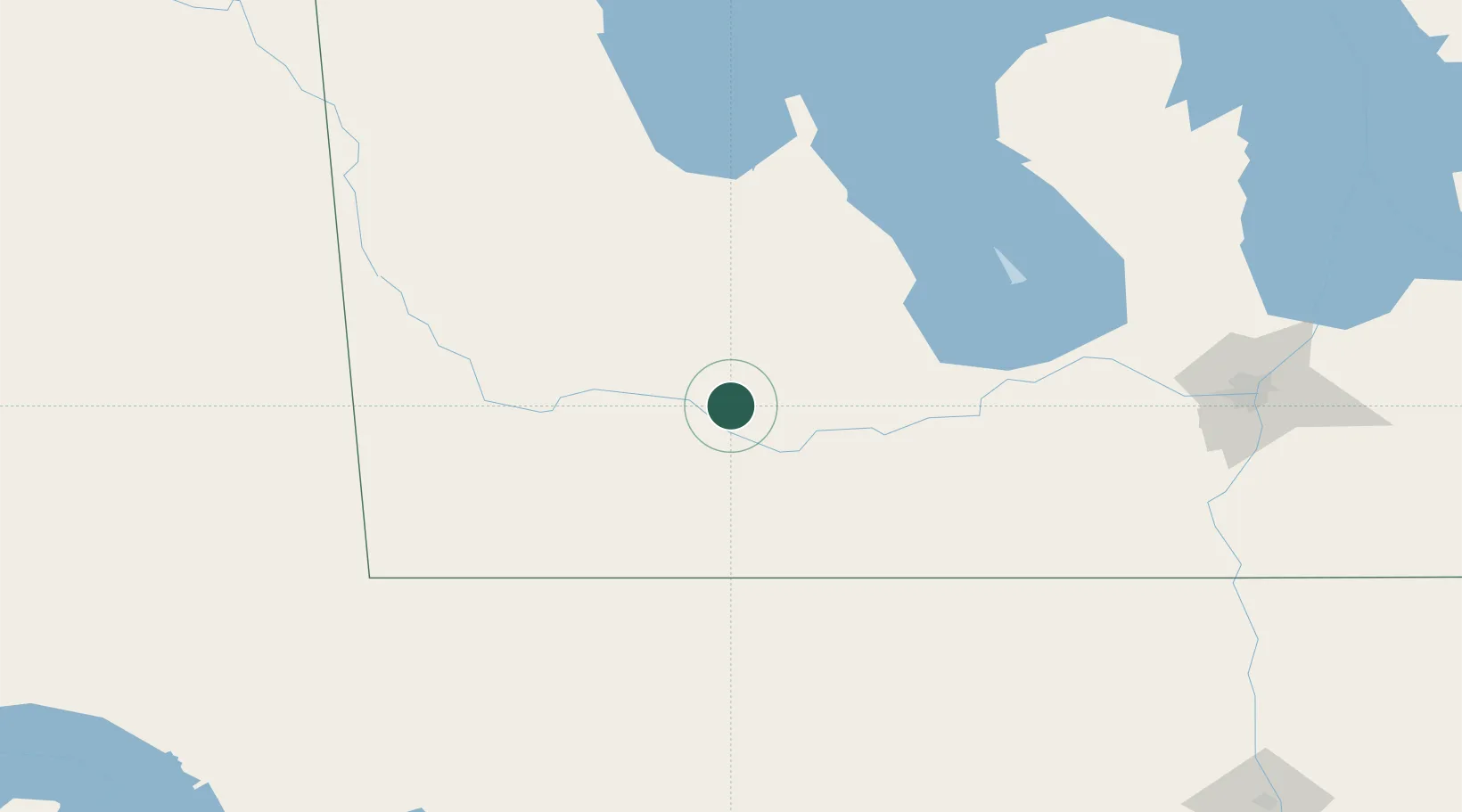
Place type
Populated place
Region
Manitoba
Population
1,419
Time zone
America/Winnipeg
Elevation
381 m
Location
Nearby Logistics Neighbours
Cities
- 1Carberry21 km
- 2Stockton29 km
- 3Rapid City44 km
- 4Dunrea45 km
- 5Margaret48 km
Ports
- 1Duluth652 km
- 2Superior656 km
- 3Two Harbors666 km
- 4Grand Marais719 km
- 5Bayfield733 km
Airports
Trade Zones
- 1Winnipegs Centreport Canada179 km
- 2FTZ No. 103 Grand Forks278 km
- 3Global Transportation Hub Authority371 km
- 4FTZ No. 267 Fargo384 km
- 5FTZ No. 259 Koochiching County424 km
DatabookThe Record of Consolidated Knowledge
Canada beyond logistics?