Transport Functions
Rail
Road
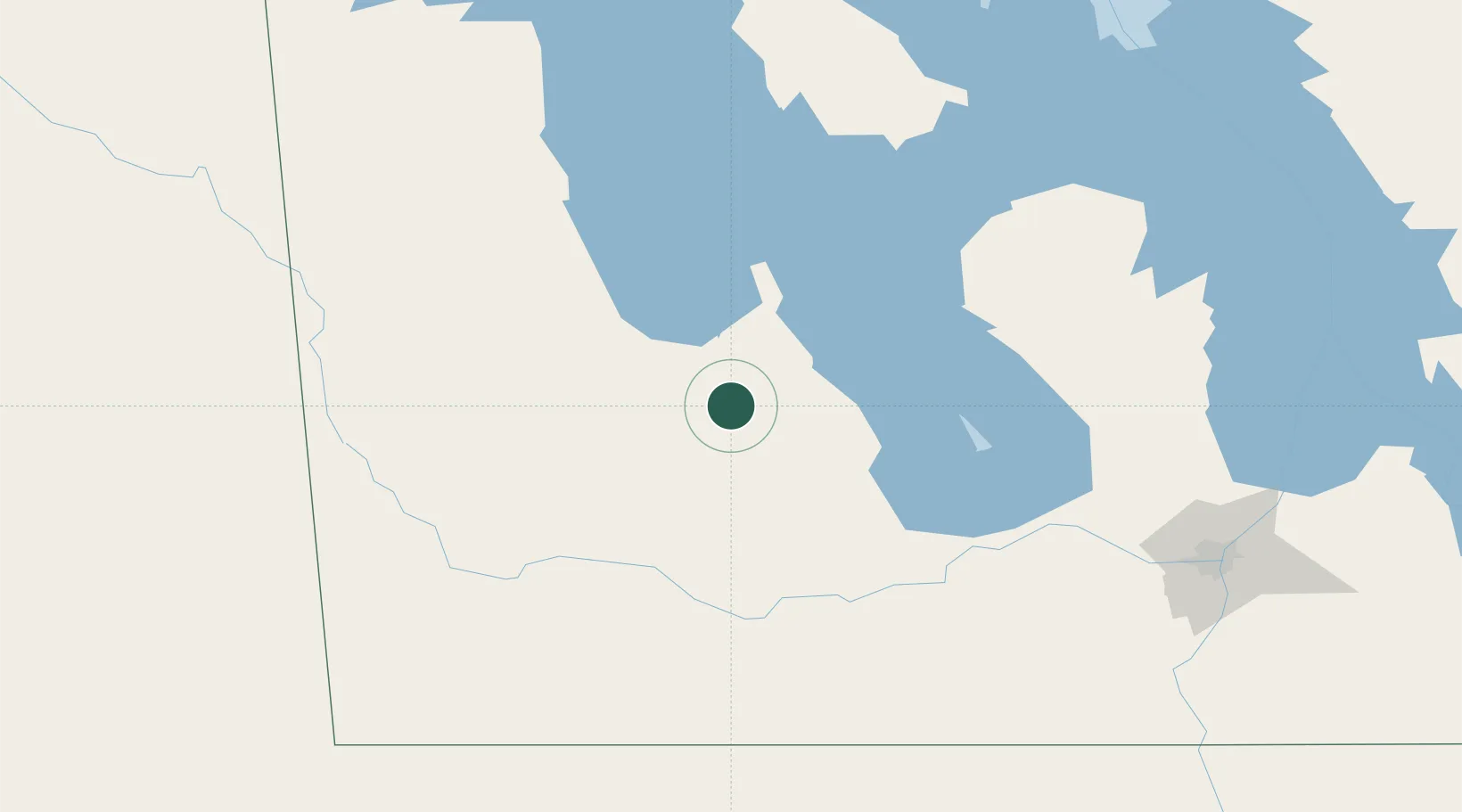
Hub Profile
Region
MB
Location
Nearby Logistics Neighbours
Cities
- 1Minnedosa48 km
- 2Rapid City69 km
- 3Carberry84 km
- 4Shilo90 km
- 5Hamiota95 km
Ports
- 1Duluth689 km
- 2Superior694 km
- 3Two Harbors698 km
- 4Grand Marais736 km
- 5Bayfield763 km
Airports
Trade Zones
- 1Winnipegs Centreport Canada184 km
- 2FTZ No. 103 Grand Forks343 km
- 3Global Transportation Hub Authority374 km
- 4FTZ No. 259 Koochiching County454 km
- 5FTZ No. 267 Fargo457 km
DatabookThe Record of Consolidated Knowledge
Canada beyond logistics?