Transport Functions
Rail
Road
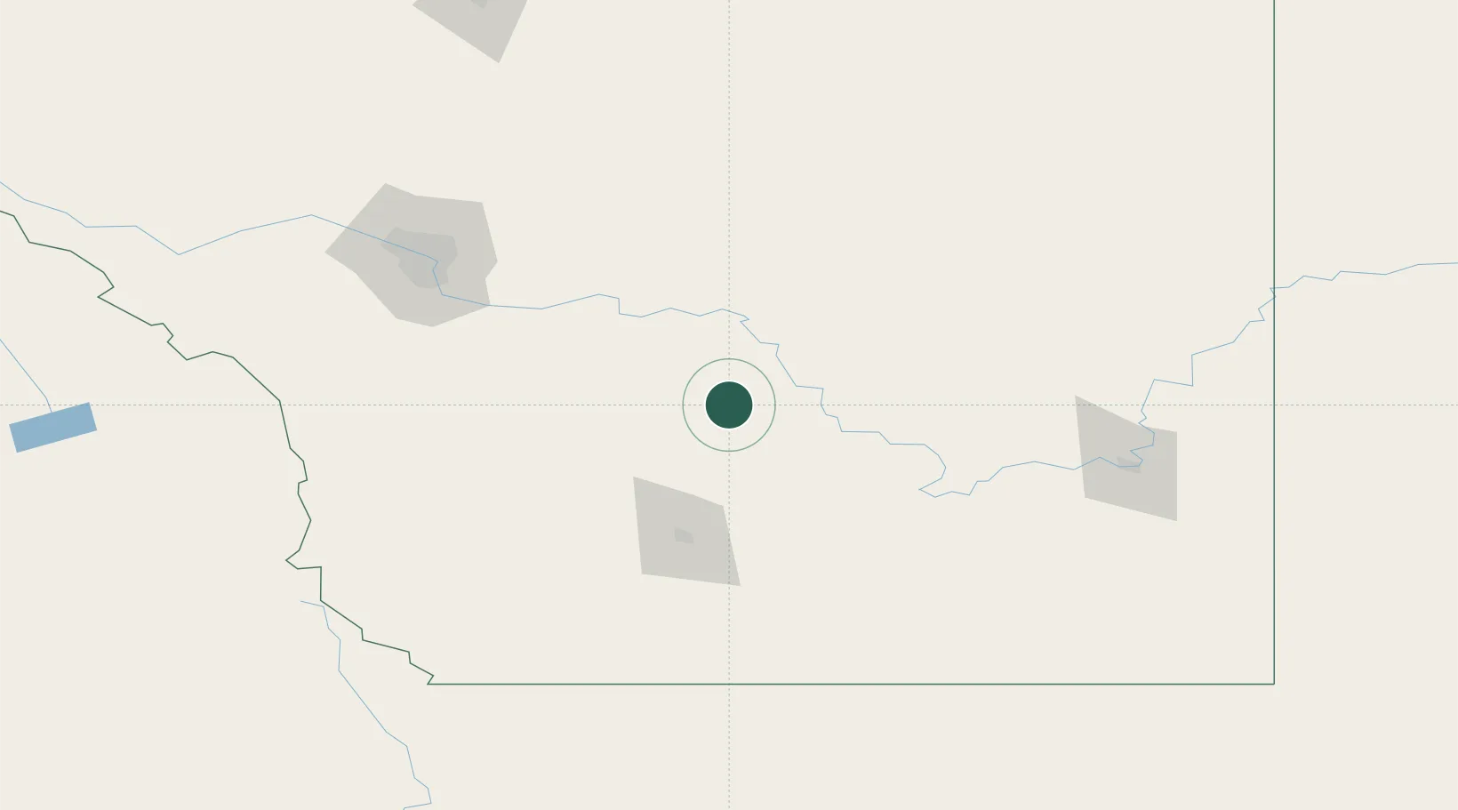
Hub Profile
Place type
Populated place
Region
Alberta
Time zone
America/Edmonton
Elevation
876 m
Location
Nearby Logistics Neighbours
Cities
- 1Bow City27 km
- 2Iron Springs45 km
- 3Vulcan46 km
- 4Bassano51 km
- 5Picture Butte53 km
Ports
- 1Mission City705 km
- 2Bellingham734 km
- 3Port Coquitlam738 km
- 4Blaine744 km
- 5Everett744 km
Airports
- 1Lethbridge County Airport79 km
- 2Calgary International Airport131 km
- 3Pincher Creek Airport134 km
- 4Medicine Hat Regional Airport139 km
- 5Calgary / Springbank Airport150 km
Trade Zones
- 1Calgary Region Inland Port130 km
- 2FTZ No. 187 Toole County193 km
- 3FTZ No. 088 Great Falls326 km
- 4FTZ No. 242 Boundary County351 km
- 5Port Alberta - Edmonton FTZ370 km
DatabookThe Record of Consolidated Knowledge
Canada beyond logistics?