Transport Functions
Rail
Road
Hub Profile
Place type
Populated place
Region
Alberta
Population
1,917
Time zone
America/Edmonton
Elevation
1,043 m
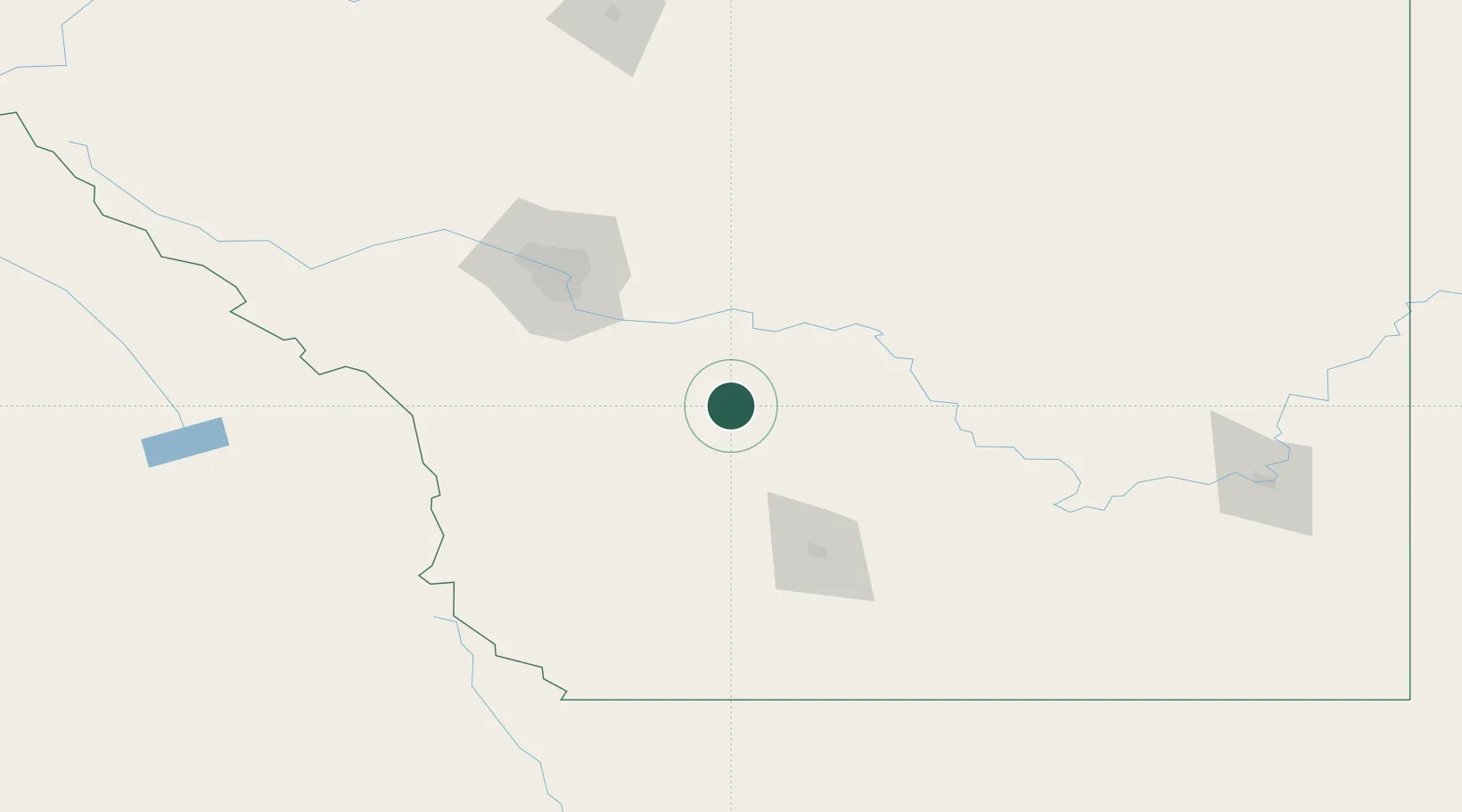
Location
Nearby Logistics Neighbours
Cities
- 1Blackie34 km
- 2Nanton37 km
- 3Lomond46 km
- 4Claresholm47 km
- 5Okotoks61 km
Ports
- 1Mission City661 km
- 2Bellingham691 km
- 3Port Coquitlam695 km
- 4Blaine700 km
- 5Fraser Mills701 km
Airports
- 1Lethbridge County Airport91 km
- 2Calgary International Airport96 km
- 3Calgary / Springbank Airport111 km
- 4Pincher Creek Airport111 km
- 5Medicine Hat Regional Airport185 km
Trade Zones
- 1Calgary Region Inland Port92 km
- 2FTZ No. 187 Toole County211 km
- 3FTZ No. 242 Boundary County316 km
- 4FTZ No. 088 Great Falls348 km
- 5Port Alberta - Edmonton FTZ359 km
DatabookThe Record of Consolidated Knowledge
Canada beyond logistics?