Transport Functions
Port
Road
Hub Profile
Place type
Locality
Region
Alberta
Time zone
America/Edmonton
Elevation
754 m
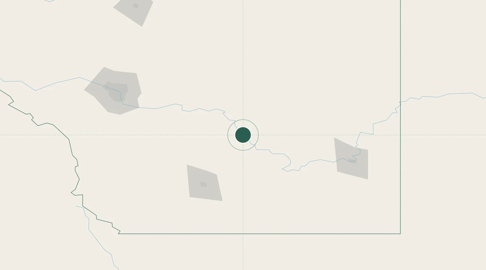
Location
Nearby Logistics Neighbours
Ports
- 1Mission City731 km
- 2Bellingham760 km
- 3Port Coquitlam764 km
- 4Blaine769 km
- 5Everett770 km
Airports
- 1Lethbridge County Airport95 km
- 2Medicine Hat Regional Airport119 km
- 3Calgary International Airport145 km
- 4Pincher Creek Airport159 km
- 5Calgary / Springbank Airport167 km
Trade Zones
- 1Calgary Region Inland Port145 km
- 2FTZ No. 187 Toole County201 km
- 3FTZ No. 088 Great Falls329 km
- 4Port Alberta - Edmonton FTZ365 km
- 5FTZ No. 242 Boundary County377 km
DatabookThe Record of Consolidated Knowledge
Canada beyond logistics?