Transport Functions
Rail
Road
Hub Profile
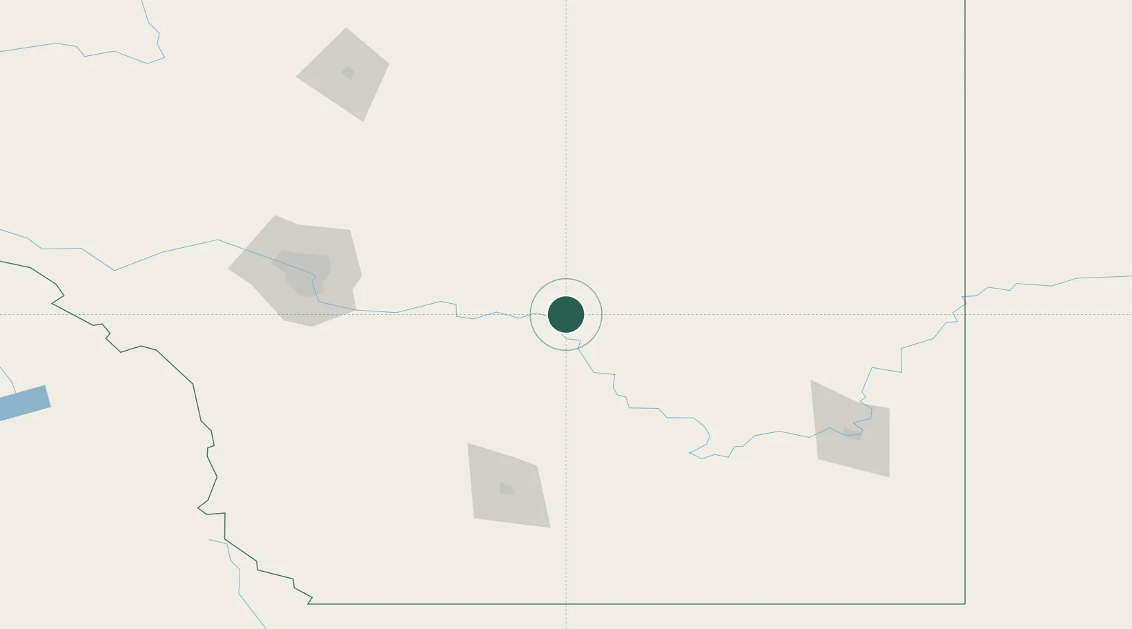
Place type
Populated place
Region
Alberta
Population
1,206
Time zone
America/Edmonton
Elevation
792 m
Location
Nearby Logistics Neighbours
Ports
- 1Mission City723 km
- 2Bellingham755 km
- 3Port Coquitlam755 km
- 4Port Moody762 km
- 5Fraser Mills762 km
Airports
- 1Calgary International Airport114 km
- 2Lethbridge County Airport130 km
- 3Calgary / Springbank Airport138 km
- 4Medicine Hat Regional Airport150 km
- 5Pincher Creek Airport178 km
Trade Zones
- 1Calgary Region Inland Port116 km
- 2FTZ No. 187 Toole County242 km
- 3Port Alberta - Edmonton FTZ322 km
- 4FTZ No. 088 Great Falls372 km
- 5FTZ No. 242 Boundary County386 km
DatabookThe Record of Consolidated Knowledge
Canada beyond logistics?