Transport Functions
Rail
Road
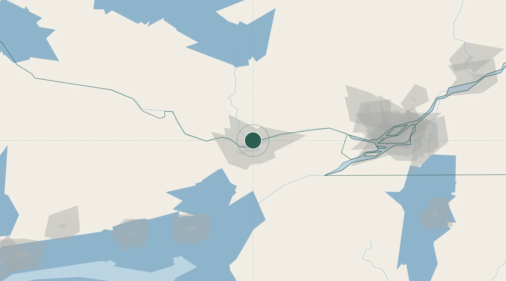
Hub Profile
Place type
Populated place
Region
Quebec
Population
300,045
Time zone
America/Toronto
Elevation
53 m
Location
Nearby Logistics Neighbours
Cities
- 1Orléans14 km
- 2Masson22 km
- 3Wakefield26 km
- 4Sarsfield28 km
- 5Stittsville31 km
Ports
- 1Hull6 km
- 2Ottawa6 km
- 3Masson23 km
- 4Cumberland24 km
- 5Rockland32 km
Airports
Trade Zones
- 1FTZ No. 118 Ogdensburg87 km
- 2Greater Montreal Free Zone Center167 km
- 3FTZ No. 109 Watertown167 km
- 4FTZ No. 090 Onondaga236 km
- 5FTZ No. 172 Oneida County251 km
DatabookThe Record of Consolidated Knowledge
Canada beyond logistics?