Transport Functions
Rail
Road
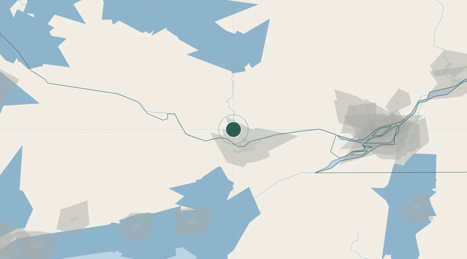
Hub Profile
Place type
Populated place
Region
Quebec
Time zone
America/Toronto
Elevation
115 m
Location
Nearby Logistics Neighbours
Cities
- 1Gatineau26 km
- 2Orléans38 km
- 3Masson41 km
- 4Stittsville45 km
- 5Sarsfield51 km
Ports
- 1Gatineau29 km
- 2Hull30 km
- 3Ottawa30 km
- 4Masson42 km
- 5Cumberland44 km
Airports
Trade Zones
- 1FTZ No. 118 Ogdensburg110 km
- 2FTZ No. 109 Watertown185 km
- 3Greater Montreal Free Zone Center185 km
- 4FTZ No. 090 Onondaga249 km
- 5FTZ No. 172 Oneida County268 km
DatabookThe Record of Consolidated Knowledge
Canada beyond logistics?