UN/LOCODE hub · Canada
CASSF

Sarsfield

45.4500°, -75.3500°
2
Transport functions

Transport Functions

Road
Multimodal
UN/LOCODE

Hub Profile

Region
ON
GeoNames

Location

Location of CASSF
Natural Earth 10m (public domain) · ON · CASSF · 45.45, -75.35GoogleOSMYandex

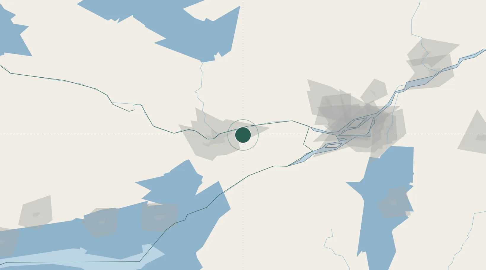
Nearby Logistics Neighbours

Cities
  1. 1Masson13 km
  2. 2Orléans14 km
  3. 3Gatineau28 km
  4. 4Plantagenet29 km
  5. 5Moose Creek37 km
Nearest neighbours — logibook spatial index (haversine) over the source coordinates
Ports
  1. 1Cumberland8 km
  2. 2Masson11 km
  3. 3Rockland12 km
  4. 4Thurso19 km
  5. 5Gatineau24 km
Nearest neighbours — logibook spatial index (haversine) over the source coordinates
Airports
  1. 1Ottawa / Gatineau Airport19 km
  2. 2Ottawa / Rockcliffe Airport23 km
  3. 3Ottawa Macdonald-Cartier International Airport29 km
  4. 4Ottawa / Carp Airport55 km
  5. 5Massena International Airport Richards Field70 km
Nearest neighbours — logibook spatial index (haversine) over the source coordinates
Trade Zones
  1. 1FTZ No. 118 Ogdensburg83 km
  2. 2Greater Montreal Free Zone Center140 km
  3. 3FTZ No. 109 Watertown168 km
  4. 4FTZ No. 090 Onondaga242 km
  5. 5FTZ No. 172 Oneida County252 km
Nearest neighbours — logibook spatial index (haversine) over the source coordinates
DatabookThe Record of Consolidated Knowledge
Canada beyond logistics?
Browse databook

All Sources

LocationsUN/LOCODE
UN/LOCODE — free
Portsthe NGA World Port Index
Public domain (US gov)
AirportsOurAirports
Public domain
Trade Zonesthe World Bank SEZ database
CC BY 4.0
Trade ZonesOpen Zone Map
CC BY
← Canada locations