Transport Functions
Port
Road
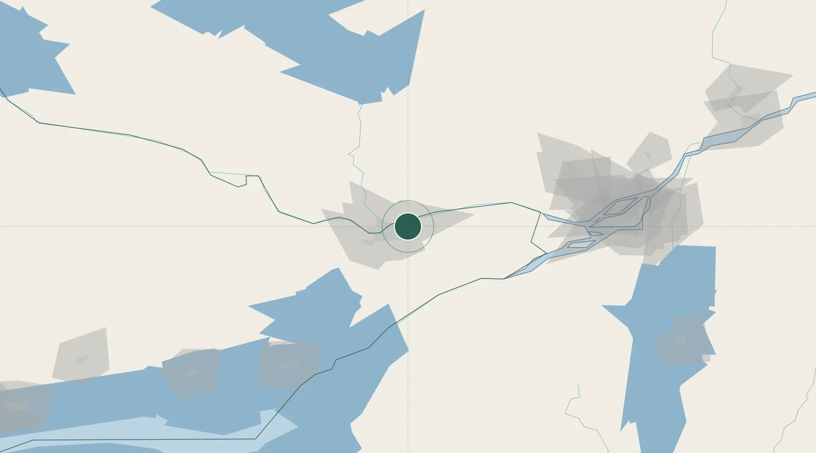
Hub Profile
Place type
Populated place
Region
Ontario
Population
125,937
Time zone
America/Toronto
Elevation
89 m
Location
Nearby Logistics Neighbours
Cities
- 1Gatineau14 km
- 2Masson14 km
- 3Sarsfield14 km
- 4Stittsville37 km
- 5Richmond38 km
Ports
- 1Gatineau10 km
- 2Cumberland13 km
- 3Masson13 km
- 4Hull13 km
- 5Ottawa13 km
Airports
Trade Zones
- 1FTZ No. 118 Ogdensburg82 km
- 2Greater Montreal Free Zone Center154 km
- 3FTZ No. 109 Watertown165 km
- 4FTZ No. 090 Onondaga237 km
- 5FTZ No. 172 Oneida County249 km
DatabookThe Record of Consolidated Knowledge
Canada beyond logistics?