Seaport · Canada

RocklandCAROK

45.5500°, -75.3000°
1.8 m
Channel depth

Channel & Berth Profile

SEA LEVEL (CD)CHANNEL BEDChannel · 1.8 mAnchorage · 1.8 m
NGA World Port Index

Facilities & Capabilities

Container
Ro-Ro
Liquid bulk
Dry bulk
Oil terminal
Break bulk
Dry dock
Repairs
Bunkering
Rail link
Dangerous cargo
ISPS security
NGA World Port Index

Harbour Specifications

Harbour size
Very Small
NGA World Port Index
Harbour type
River (Natural)
NGA World Port Index
Shelter
Excellent
NGA World Port Index
Water body
Lake Ontario; Great Lakes
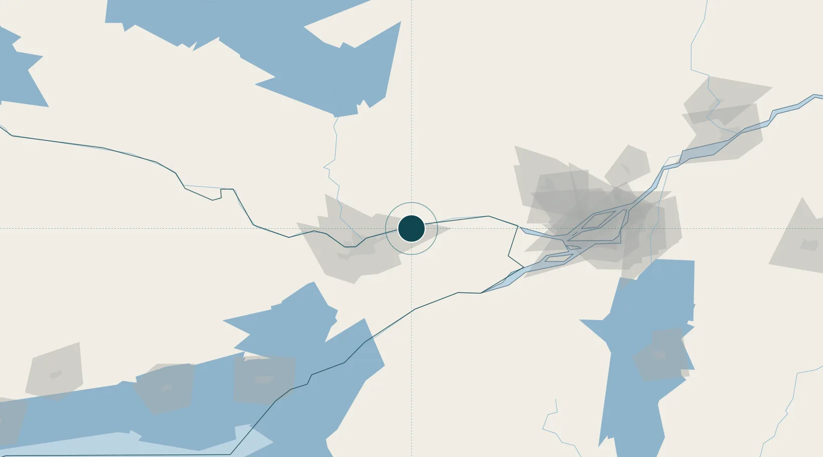
NGA World Port Index

Location

Location of CAROK
Natural Earth 10m (public domain) · Ontario · CAROK · 45.55, -75.30GoogleOSMYandex

Nearby Logistics Neighbours

Ports
  1. 1Thurso8 km
  2. 2Cumberland9 km
  3. 3Masson9 km
  4. 4Papineauville23 km
  5. 5Gatineau28 km
Nearest neighbours — logibook spatial index (haversine) over the source coordinates
Cities
  1. 1Masson10 km
  2. 2Sarsfield12 km
  3. 3Orléans21 km
  4. 4Plantagenet23 km
  5. 5Saint-André-Avellin28 km
Nearest neighbours — logibook spatial index (haversine) over the source coordinates
Airports
  1. 1Ottawa / Gatineau Airport21 km
  2. 2Ottawa / Rockcliffe Airport29 km
  3. 3Ottawa Macdonald-Cartier International Airport38 km
  4. 4Ottawa / Carp Airport62 km
  5. 5Cornwall Regional Airport77 km
Nearest neighbours — logibook spatial index (haversine) over the source coordinates
Trade Zones
  1. 1FTZ No. 118 Ogdensburg95 km
  2. 2Greater Montreal Free Zone Center136 km
  3. 3FTZ No. 109 Watertown180 km
  4. 4FTZ No. 090 Onondaga254 km
  5. 5FTZ No. 172 Oneida County264 km
Nearest neighbours — logibook spatial index (haversine) over the source coordinates
DatabookThe Record of Consolidated Knowledge
Canada beyond logistics?
Browse databook

All Sources

Portsthe NGA World Port Index
Public domain (US gov)
AirportsOurAirports
Public domain
LocationsUN/LOCODE
UN/LOCODE — free
Trade Zonesthe World Bank SEZ database
CC BY 4.0
Trade ZonesOpen Zone Map
CC BY
← Canada ports