UN/LOCODE hub · Canada
CAMAS

Masson

45.5500°, -75.4333°
2
Transport functions

Transport Functions

Rail
Road
Masson is also a profiled seaport →
UN/LOCODE

Hub Profile

Region
QC
GeoNames

Location

Location of CAMAS
Natural Earth 10m (public domain) · QC · CAMAS · 45.55, -75.43GoogleOSMYandex

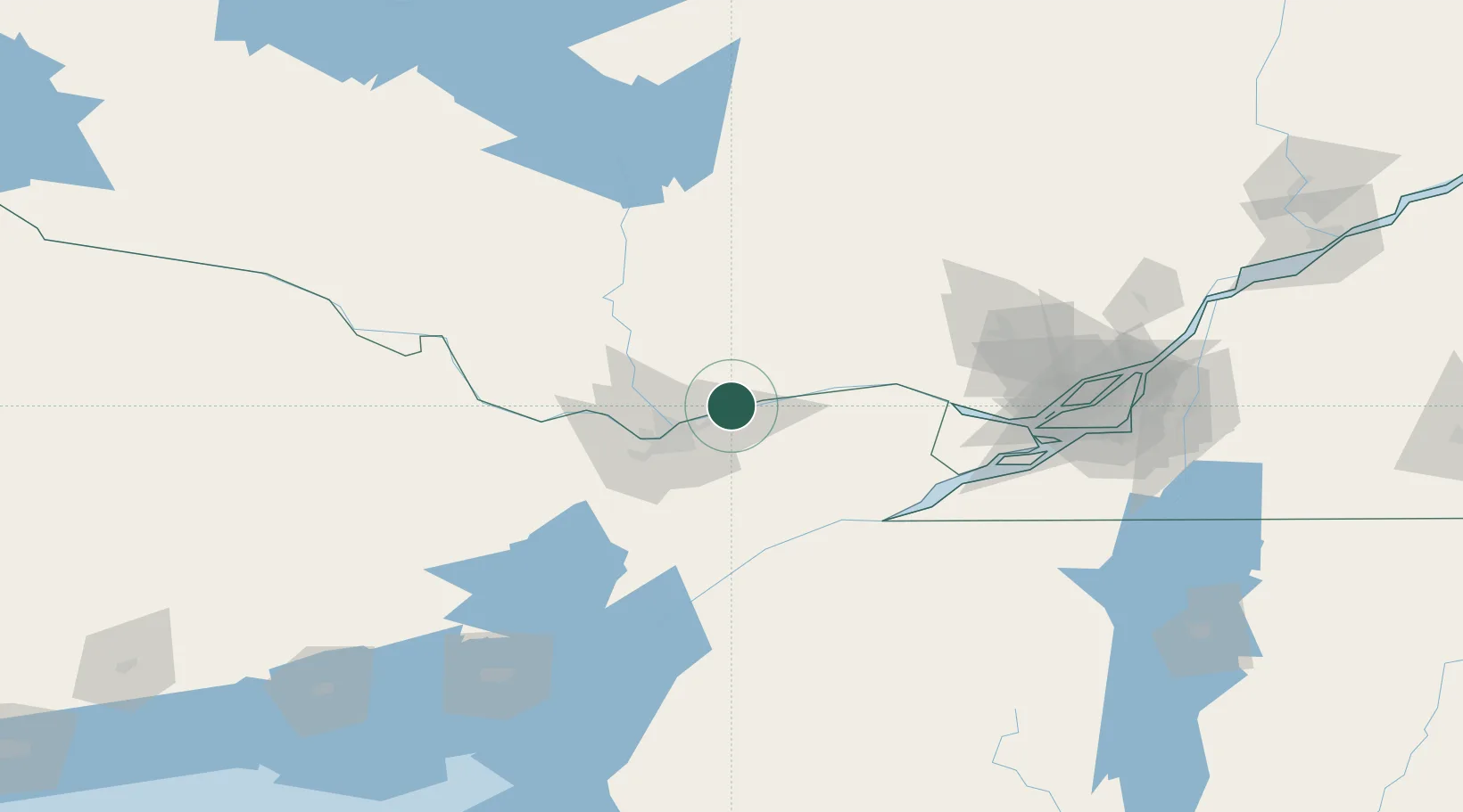
Nearby Logistics Neighbours

Cities
  1. 1Sarsfield13 km
  2. 2Orléans14 km
  3. 3Gatineau22 km
  4. 4Plantagenet34 km
  5. 5Saint-André-Avellin36 km
Nearest neighbours — logibook spatial index (haversine) over the source coordinates
Ports
  1. 1Cumberland5 km
  2. 2Rockland10 km
  3. 3Thurso17 km
  4. 4Gatineau18 km
  5. 5Hull25 km
Nearest neighbours — logibook spatial index (haversine) over the source coordinates
Airports
  1. 1Ottawa / Gatineau Airport11 km
  2. 2Ottawa / Rockcliffe Airport19 km
  3. 3Ottawa Macdonald-Cartier International Airport31 km
  4. 4Ottawa / Carp Airport53 km
  5. 5Smiths Falls-Montague (Russ Beach) Airport78 km
Nearest neighbours — logibook spatial index (haversine) over the source coordinates
Trade Zones
  1. 1FTZ No. 118 Ogdensburg94 km
  2. 2Greater Montreal Free Zone Center146 km
  3. 3FTZ No. 109 Watertown178 km
  4. 4FTZ No. 090 Onondaga250 km
  5. 5FTZ No. 172 Oneida County262 km
Nearest neighbours — logibook spatial index (haversine) over the source coordinates
DatabookThe Record of Consolidated Knowledge
Canada beyond logistics?
Browse databook

All Sources

LocationsUN/LOCODE
UN/LOCODE — free
Portsthe NGA World Port Index
Public domain (US gov)
AirportsOurAirports
Public domain
Trade Zonesthe World Bank SEZ database
CC BY 4.0
Trade ZonesOpen Zone Map
CC BY
← Canada locations