Transport Functions
Rail
Road
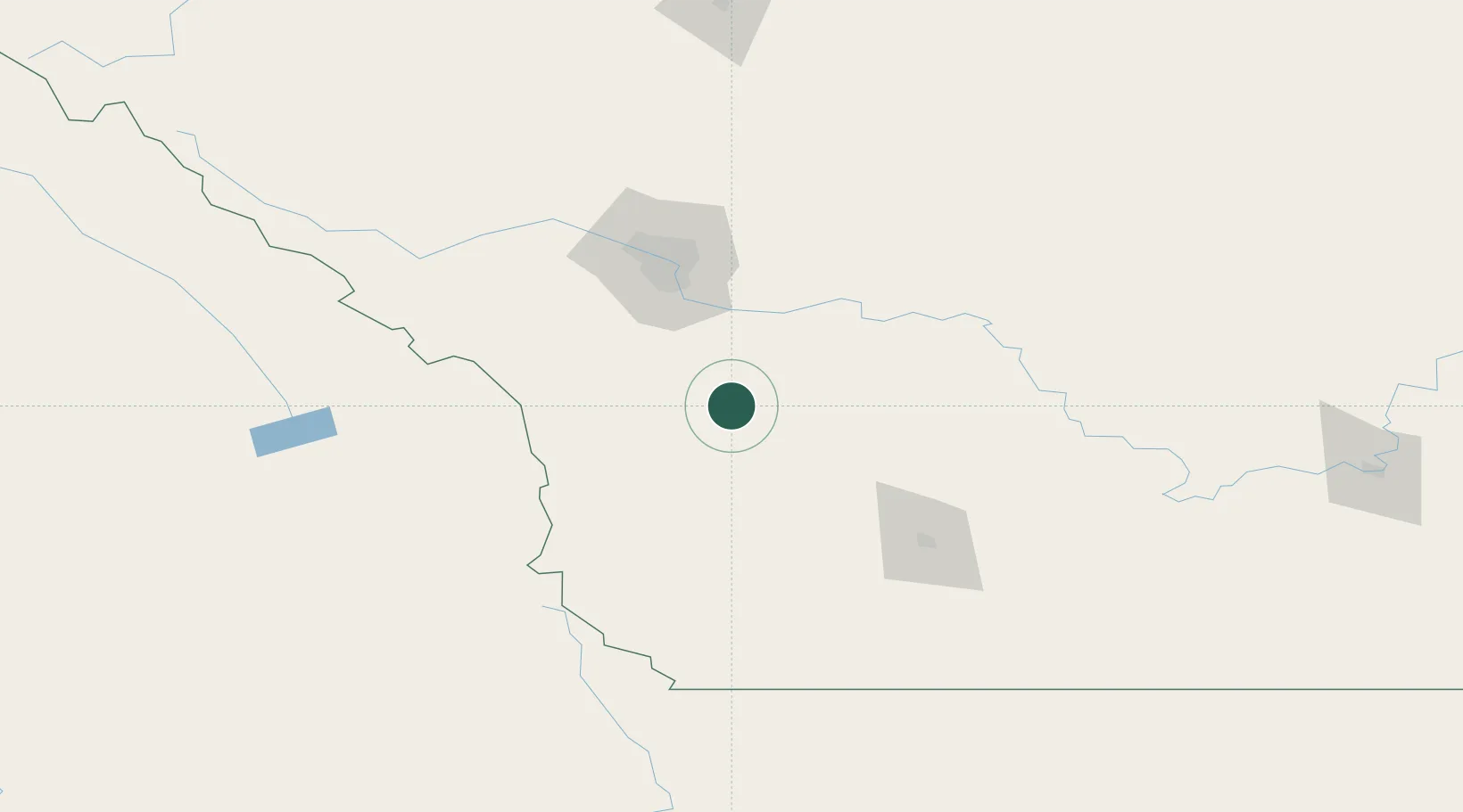
Hub Profile
Place type
Populated place
Region
Alberta
Population
2,181
Time zone
America/Edmonton
Elevation
1,019 m
Location
Nearby Logistics Neighbours
Cities
- 1Blackie30 km
- 2Vulcan37 km
- 3Claresholm38 km
- 4Okotoks43 km
- 5Granum57 km
Ports
- 1Mission City624 km
- 2Bellingham654 km
- 3Port Coquitlam657 km
- 4Blaine663 km
- 5Fraser Mills664 km
Airports
Trade Zones
- 1Calgary Region Inland Port81 km
- 2FTZ No. 187 Toole County221 km
- 3FTZ No. 242 Boundary County283 km
- 4FTZ No. 088 Great Falls359 km
- 5Port Alberta - Edmonton FTZ366 km
DatabookThe Record of Consolidated Knowledge
Canada beyond logistics?