Transport Functions
Rail
Hub Profile
Place type
Populated place
Region
Saskatchewan
Time zone
America/Regina
Elevation
660 m
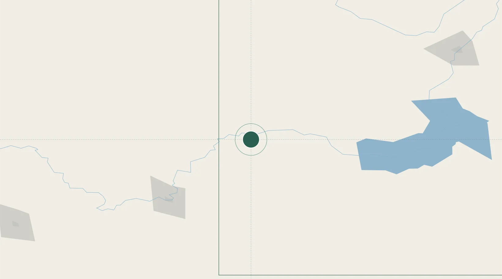
Location
Nearby Logistics Neighbours
Cities
- 1Empress32 km
- 2Acadia Valley54 km
- 3Cabri83 km
- 4Oyen83 km
- 5Maple Creek108 km
Ports
- 1Mission City927 km
- 2Bellingham958 km
- 3Port Coquitlam960 km
- 4Blaine966 km
- 5Fraser Mills966 km
Airports
Trade Zones
- 1Calgary Region Inland Port317 km
- 2FTZ No. 187 Toole County321 km
- 3Global Transportation Hub Authority342 km
- 4Port Alberta - Edmonton FTZ399 km
- 5FTZ No. 088 Great Falls400 km
DatabookThe Record of Consolidated Knowledge
Canada beyond logistics?