Transport Functions
Rail
Road
Hub Profile
Place type
District seat
Region
British Columbia
Time zone
America/Vancouver
Elevation
974 m
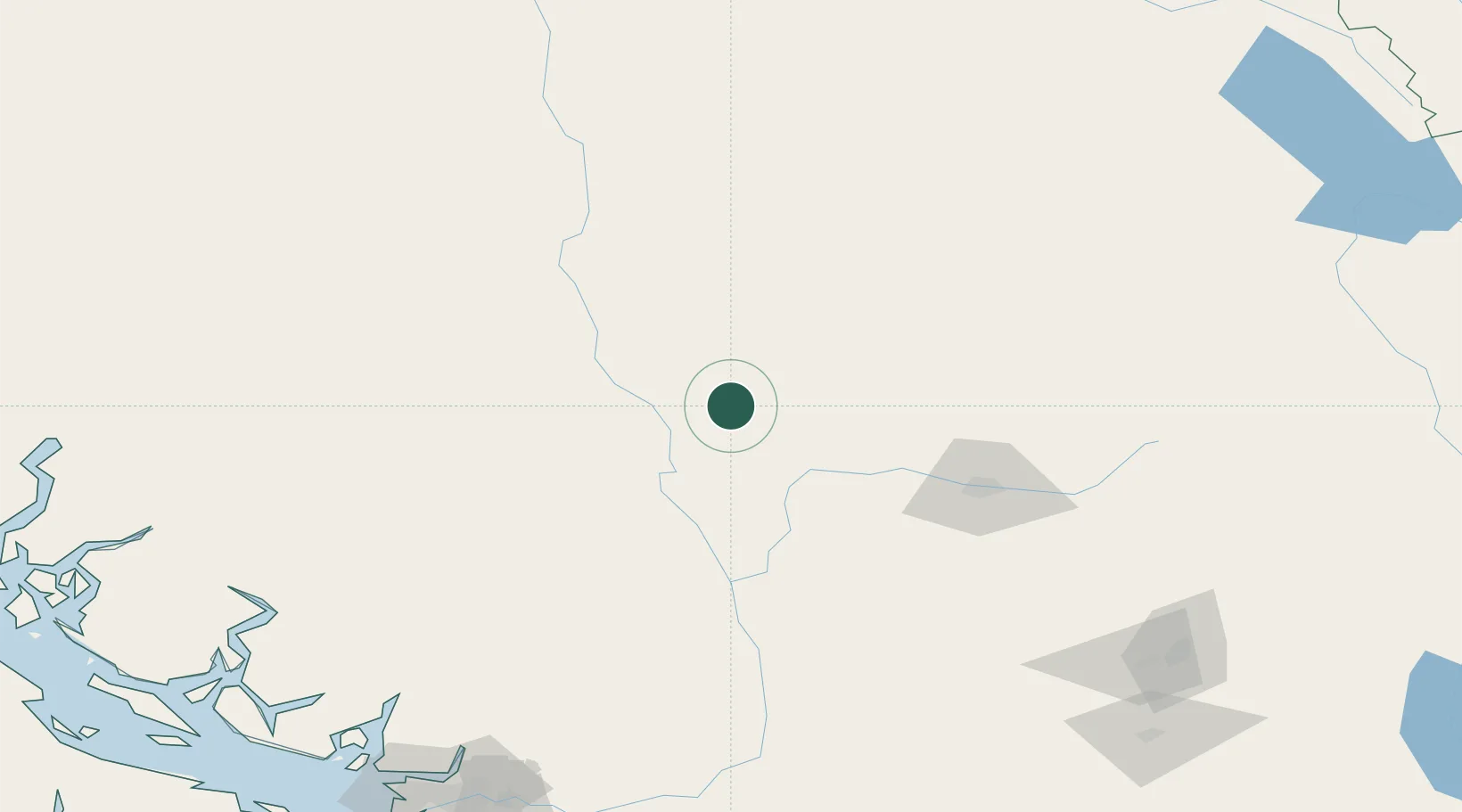
Location
Nearby Logistics Neighbours
Cities
- 1Lillooet51 km
- 2Lone Butte58 km
- 3100 Mile House (One Hundred Mile House)65 km
- 4Mount Currie117 km
- 5Sun Peaks120 km
Ports
- 1Port Mellon220 km
- 2Port Moody221 km
- 3Mission City221 km
- 4Port Coquitlam222 km
- 5Fraser Mills226 km
Airports
Trade Zones
- 1FTZ Vancouver Island232 km
- 2FTZ No. 128 Whatcom County262 km
- 3FTZ No. 129 Bellingham268 km
- 4PrInce George Logistics Park325 km
- 5FTZ No. 085 Everett346 km
DatabookThe Record of Consolidated Knowledge
Canada beyond logistics?