Medium airport · Canada
Kamloops John Moose Fulton Field Regional AirportCYKA
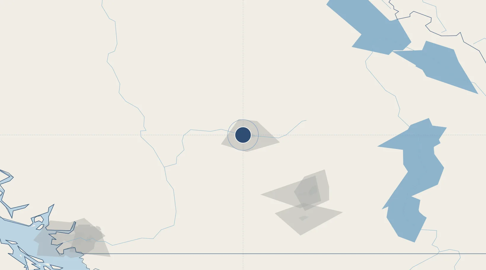
50.7030°, -120.4486°
8,000 ft
Longest runway
2
Runways
1,133 ft
Elevation
Runway & Layout

Radio Frequencies
CLNC DEL
121.9 MHz
Light hrs
MF
125.7 MHz
Kamloops Radio, 5nm below 4100ASL
PAL
132.35 MHz
Vancouver Control
PVT ADV
123 MHz
Shell Aerocenter
RCO
123.375 MHz
Pacific Radio (FISE)
VDF
125.7 MHz
Navaids
XPP DME Kamloops 109.90 MHz
YKA NDB Kamloops 223 kHz
Runways · 2
| Runway | Dimensions | Surface | True heading | Lit |
|---|---|---|---|---|
| 09/27 | 8,000 × 148ft | Asphalt | 103° | ✓ |
| 05/23 | 1,875 × 49ft | Asphalt | 061° | — |
Airport Specifications
IATA code
YKA
ICAO code
CYKA
Airport class
Medium airport
Scheduled service
Yes
Runway surface
Asphalt
Served city
Kamloops
Location
Nearby Logistics Neighbours
Airports
Cities
- 1Sun Peaks44 km
- 2Falkland67 km
- 3Clinton90 km
- 4Fraser Wharves93 km
- 5Enderby93 km
Ports
- 1Mission City216 km
- 2Port Coquitlam233 km
- 3Port Moody235 km
- 4Fraser Mills238 km
- 5New Westminster243 km
Trade Zones
- 1FTZ Vancouver Island250 km
- 2FTZ No. 128 Whatcom County259 km
- 3FTZ No. 129 Bellingham263 km
- 4FTZ No. 085 Everett327 km
- 5FTZ No. 242 Boundary County339 km
DatabookThe Record of Consolidated Knowledge
Canada beyond logistics?