Transport Functions
Rail
Road
Hub Profile
Place type
Locality
Region
Alberta
Time zone
America/Edmonton
Elevation
900 m
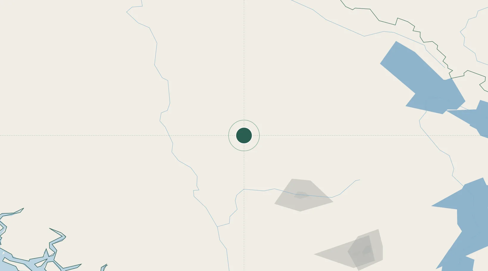
Location
Nearby Logistics Neighbours
Cities
- 1100 Mile House (One Hundred Mile House)11 km
- 2Clinton58 km
- 3Clearwater81 km
- 4Horsefly88 km
- 5Lillooet109 km
Ports
- 1Mission City278 km
- 2Port Mellon278 km
- 3Port Moody279 km
- 4Port Coquitlam281 km
- 5Fraser Mills284 km
Airports
Trade Zones
- 1PrInce George Logistics Park283 km
- 2FTZ Vancouver Island290 km
- 3FTZ No. 128 Whatcom County319 km
- 4FTZ No. 129 Bellingham325 km
- 5FTZ No. 085 Everett401 km
DatabookThe Record of Consolidated Knowledge
Canada beyond logistics?