Transport Functions
Rail
Road
Airport
Hub Profile
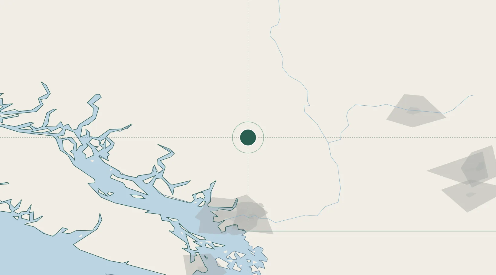
Place type
Populated place
Region
British Columbia
Population
1,242
Time zone
America/Vancouver
Elevation
219 m
Location
Nearby Logistics Neighbours
Cities
- 1Lillooet69 km
- 2North Bend101 km
- 3Indian Arm106 km
- 4West Vancouver114 km
- 5North Vancouver114 km
Ports
- 1Port Mellon105 km
- 2Port Moody116 km
- 3Vancouver118 km
- 4Port Coquitlam121 km
- 5Fraser Mills122 km
Airports
Trade Zones
- 1FTZ Vancouver Island122 km
- 2FTZ No. 128 Whatcom County168 km
- 3FTZ No. 129 Bellingham174 km
- 4FTZ No. 085 Everett260 km
- 5FTZ No. 005 Seattle301 km
DatabookThe Record of Consolidated Knowledge
Canada beyond logistics?