Seaplane base · Canada

Whistler/Green Lake Water AerodromeCAE5

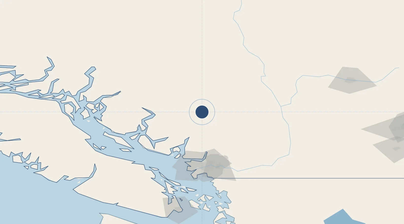
50.1436°, -122.9490°
2,100 ft
Elevation

Runway & Layout

Whistler/Green Lake Water Aerodrome runway & taxiway layout
Runway & taxiway layout — OpenStreetMap (ODbL) / OurAirports

Airport Specifications

IATA code
YWS
OurAirports
ICAO code
CAE5
OurAirports
Airport class
Seaplane base
OurAirports
Scheduled service
Yes
OurAirports
Served city
Whistler
OurAirports

Location

Location of CAE5
Natural Earth 10m (public domain) · British Columbia · CAE5 · 50.14, -122.95GoogleOSMYandex

Nearby Logistics Neighbours

Airports
  1. 1Poise Cove Waterdrome93 km
  2. 2Sechelt/Porpoise Bay Water Aerodrome94 km
  3. 3Vancouver Harbour Water Aerodrome96 km
  4. 4Harbour (Public) Heliport96 km
  5. 5Pitt Meadows Regional Airport105 km
Nearest neighbours — logibook spatial index (haversine) over the source coordinates
Cities
  1. 1Mount Currie25 km
  2. 2Indian Arm87 km
  3. 3Bowen Island91 km
  4. 4West Vancouver91 km
  5. 5North Vancouver92 km
Nearest neighbours — logibook spatial index (haversine) over the source coordinates
Ports
  1. 1Port Mellon80 km
  2. 2Port Moody96 km
  3. 3Vancouver96 km
  4. 4Port Coquitlam102 km
  5. 5Fraser Mills103 km
Nearest neighbours — logibook spatial index (haversine) over the source coordinates
Trade Zones
  1. 1FTZ Vancouver Island101 km
  2. 2FTZ No. 128 Whatcom County151 km
  3. 3FTZ No. 129 Bellingham158 km
  4. 4FTZ No. 085 Everett244 km
  5. 5FTZ No. 005 Seattle284 km
Nearest neighbours — logibook spatial index (haversine) over the source coordinates
DatabookThe Record of Consolidated Knowledge
Canada beyond logistics?
Browse databook

All Sources

AirportsOurAirports
Public domain
Portsthe NGA World Port Index
Public domain (US gov)
LocationsUN/LOCODE
UN/LOCODE — free
Trade Zonesthe World Bank SEZ database
CC BY 4.0
Trade ZonesOpen Zone Map
CC BY
InfrastructureOpenStreetMap
ODbL 1.0
← Canada airports