Medium airport · Canada

Cache Creek-Ashcroft Regional AirportCAZ5

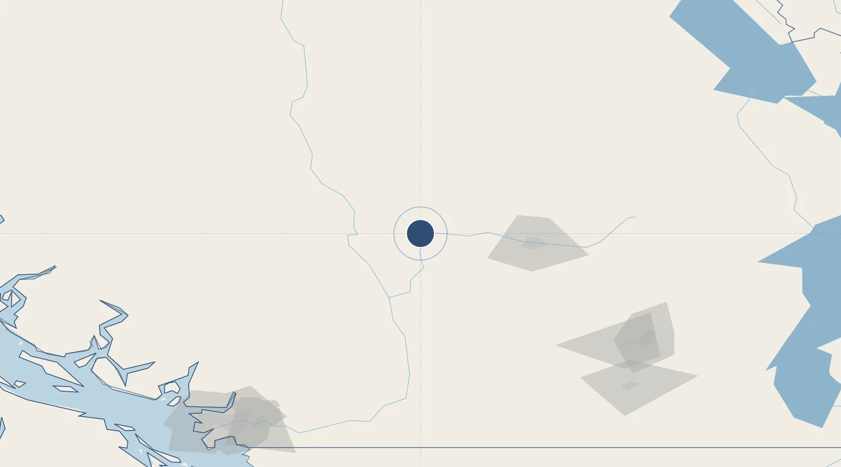
50.7753°, -121.3213°
3,280 ft
Longest runway
1
Runways
2,034 ft
Elevation

Runway & Layout

Cache Creek-Ashcroft Regional Airport runway & taxiway layout
Runway & taxiway layout — OpenStreetMap (ODbL) / OurAirports

Radio Frequencies

ATF
123.2 MHz
OurAirports

Runways · 1

RunwayDimensions SurfaceTrue headingLit
15/33 3,280 × 75ft Asphalt 171°
OurAirports

Airport Specifications

IATA code
YZA
OurAirports
ICAO code
CAZ5
OurAirports
Airport class
Medium airport
OurAirports
Scheduled service
No
OurAirports
Runway surface
Asphalt
OurAirports
Served city
Cache Creek
OurAirports

Location

Location of CAZ5
Natural Earth 10m (public domain) · British Columbia · CAZ5 · 50.78, -121.32GoogleOSMYandex

Nearby Logistics Neighbours

Airports
  1. 1Kamloops John Moose Fulton Field Regional Airport62 km
  2. 2Whistler/Green Lake Water Aerodrome135 km
  3. 3Shuswap Regional Airport148 km
  4. 4Vernon Regional Airport153 km
  5. 5Williams Lake Airport165 km
Nearest neighbours — logibook spatial index (haversine) over the source coordinates
Cities
  1. 1Clinton39 km
  2. 2Lillooet44 km
  3. 3Lone Butte87 km
  4. 4100 Mile House (One Hundred Mile House)96 km
  5. 5North Bend100 km
Nearest neighbours — logibook spatial index (haversine) over the source coordinates
Ports
  1. 1Mission City193 km
  2. 2Port Moody200 km
  3. 3Port Coquitlam200 km
  4. 4Fraser Mills204 km
  5. 5Port Mellon208 km
Nearest neighbours — logibook spatial index (haversine) over the source coordinates
Trade Zones
  1. 1FTZ Vancouver Island213 km
  2. 2FTZ No. 128 Whatcom County235 km
  3. 3FTZ No. 129 Bellingham241 km
  4. 4FTZ No. 085 Everett315 km
  5. 5FTZ No. 005 Seattle362 km
Nearest neighbours — logibook spatial index (haversine) over the source coordinates
DatabookThe Record of Consolidated Knowledge
Canada beyond logistics?
Browse databook

All Sources

AirportsOurAirports
Public domain
Portsthe NGA World Port Index
Public domain (US gov)
LocationsUN/LOCODE
UN/LOCODE — free
Trade Zonesthe World Bank SEZ database
CC BY 4.0
Trade ZonesOpen Zone Map
CC BY
InfrastructureOpenStreetMap
ODbL 1.0
← Canada airports