UN/LOCODE hub · Canada
CASPK

Sun Peaks

50.8833°, -119.9000°
1,400
Population
2
Transport functions

Transport Functions

Road
Multimodal
UN/LOCODE

Hub Profile

Place type
Populated place
GeoNames
Region
British Columbia
GeoNames
Population
1,400
GeoNames
Time zone
America/Vancouver
GeoNames
Elevation
1,200 m
GeoNames

Location

Location of CASPK
Natural Earth 10m (public domain) · British Columbia · CASPK · 50.88, -119.90GoogleOSMYandex

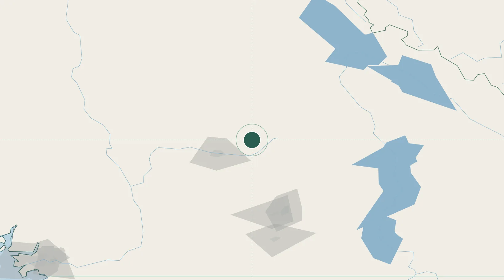
Nearby Logistics Neighbours

Cities
  1. 1Falkland49 km
  2. 2Fraser Wharves50 km
  3. 3Grindrod62 km
  4. 4Enderby65 km
  5. 5Sicamous65 km
Nearest neighbours — logibook spatial index (haversine) over the source coordinates
Ports
  1. 1Mission City256 km
  2. 2Port Coquitlam275 km
  3. 3Port Moody277 km
  4. 4Fraser Mills280 km
  5. 5New Westminster285 km
Nearest neighbours — logibook spatial index (haversine) over the source coordinates
Airports
  1. 1Kamloops John Moose Fulton Field Regional Airport44 km
  2. 2Shuswap Regional Airport52 km
  3. 3Vernon Regional Airport82 km
  4. 4Cache Creek-Ashcroft Regional Airport101 km
  5. 5Kelowna International Airport110 km
Nearest neighbours — logibook spatial index (haversine) over the source coordinates
Trade Zones
  1. 1FTZ Vancouver Island293 km
  2. 2FTZ No. 128 Whatcom County298 km
  3. 3FTZ No. 129 Bellingham303 km
  4. 4FTZ No. 242 Boundary County324 km
  5. 5FTZ No. 085 Everett362 km
Nearest neighbours — logibook spatial index (haversine) over the source coordinates
DatabookThe Record of Consolidated Knowledge
Canada beyond logistics?
Browse databook

All Sources

LocationsUN/LOCODE
UN/LOCODE — free
LocationsGeoNames
CC BY 4.0
Portsthe NGA World Port Index
Public domain (US gov)
AirportsOurAirports
Public domain
Trade Zonesthe World Bank SEZ database
CC BY 4.0
Trade ZonesOpen Zone Map
CC BY
← Canada locations