UN/LOCODE hub · Canada
CALOO

Lillooet

50.6833°, -121.9333°
2,324
Population
3
Transport functions

Transport Functions

Rail
Road
Multimodal
UN/LOCODE

Hub Profile

Place type
Populated place
GeoNames
Region
British Columbia
GeoNames
Population
2,324
GeoNames
Time zone
America/Vancouver
GeoNames
Elevation
276 m
GeoNames

Location

Location of CALOO
Natural Earth 10m (public domain) · British Columbia · CALOO · 50.68, -121.93GoogleOSMYandex

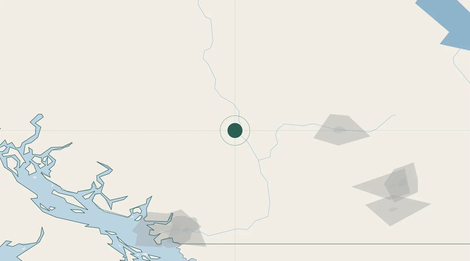
Nearby Logistics Neighbours

Cities
  1. 1Clinton51 km
  2. 2Mount Currie69 km
  3. 3North Bend95 km
  4. 4Lone Butte109 km
  5. 5100 Mile House (One Hundred Mile House)115 km
Nearest neighbours — logibook spatial index (haversine) over the source coordinates
Ports
  1. 1Port Moody170 km
  2. 2Port Mellon170 km
  3. 3Port Coquitlam172 km
  4. 4Mission City173 km
  5. 5Fraser Mills175 km
Nearest neighbours — logibook spatial index (haversine) over the source coordinates
Airports
  1. 1Cache Creek-Ashcroft Regional Airport44 km
  2. 2Whistler/Green Lake Water Aerodrome94 km
  3. 3Kamloops John Moose Fulton Field Regional Airport105 km
  4. 4Williams Lake Airport167 km
  5. 5Pitt Meadows Regional Airport173 km
Nearest neighbours — logibook spatial index (haversine) over the source coordinates
Trade Zones
  1. 1FTZ Vancouver Island181 km
  2. 2FTZ No. 128 Whatcom County213 km
  3. 3FTZ No. 129 Bellingham219 km
  4. 4FTZ No. 085 Everett299 km
  5. 5FTZ No. 005 Seattle344 km
Nearest neighbours — logibook spatial index (haversine) over the source coordinates
DatabookThe Record of Consolidated Knowledge
Canada beyond logistics?
Browse databook

All Sources

LocationsUN/LOCODE
UN/LOCODE — free
LocationsGeoNames
CC BY 4.0
Portsthe NGA World Port Index
Public domain (US gov)
AirportsOurAirports
Public domain
Trade Zonesthe World Bank SEZ database
CC BY 4.0
Trade ZonesOpen Zone Map
CC BY
← Canada locations