Medium airport · Canada

Shuswap Regional AirportCZAM

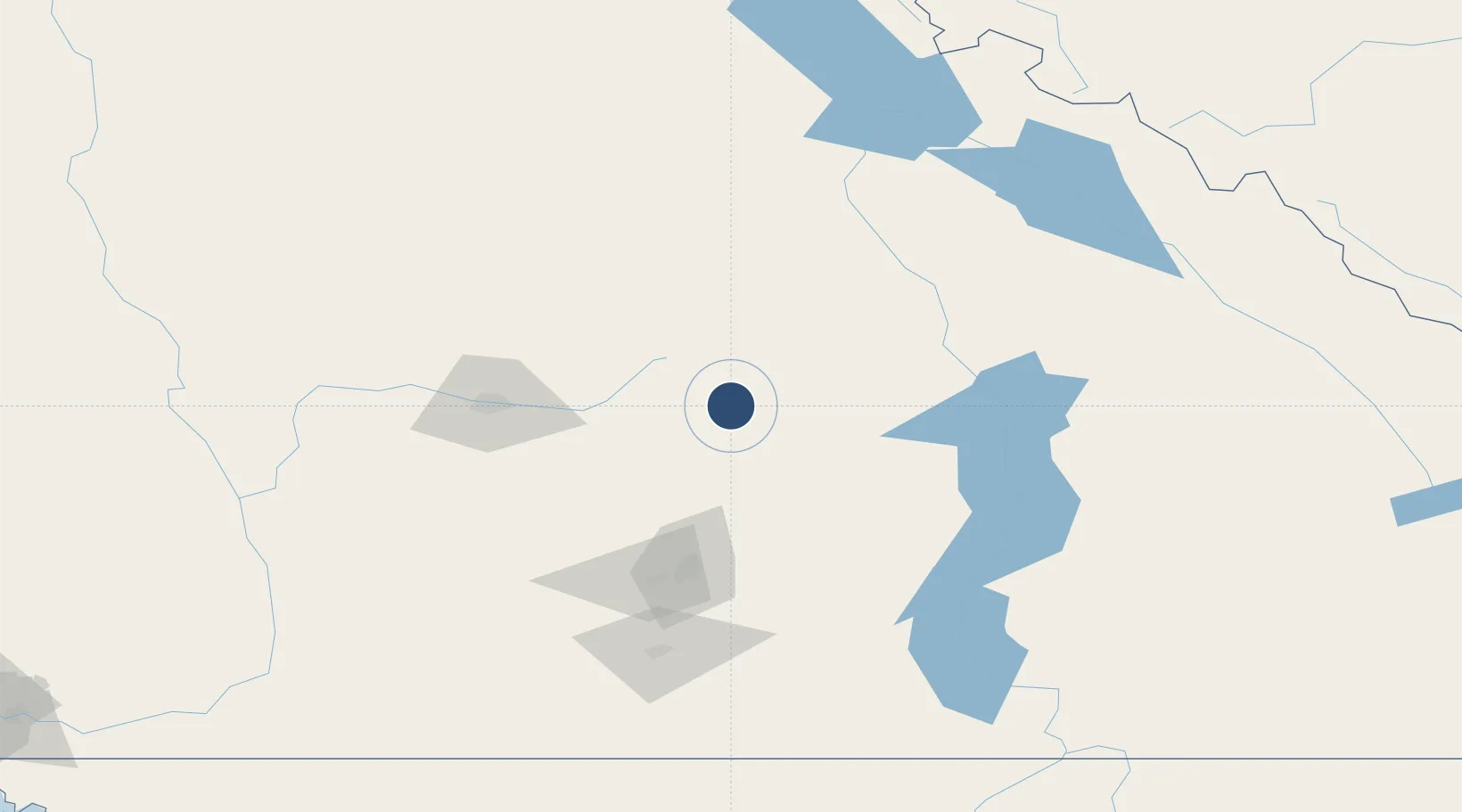
50.6828°, -119.2290°
4,260 ft
Longest runway
1
Runways
1,751 ft
Elevation

Runway & Layout

Shuswap Regional Airport runway & taxiway layout
Runway & taxiway layout — OpenStreetMap (ODbL) / OurAirports

Radio Frequencies

UNIC
122.9 MHz
ATF/UNICOM
OurAirports

Navaids

V6 NDB-DME Salmon Arm 0.21 MHz
OurAirports

Runways · 1

RunwayDimensions SurfaceTrue headingLit
14/32 4,260 × 75ft Asphalt 158°
OurAirports

Airport Specifications

IATA code
YSN
OurAirports
ICAO code
CZAM
OurAirports
Airport class
Medium airport
OurAirports
Scheduled service
No
OurAirports
Runway surface
Asphalt
OurAirports
Served city
Salmon Arm
OurAirports

Location

Location of CZAM
Natural Earth 10m (public domain) · British Columbia · CZAM · 50.68, -119.23GoogleOSMYandex

Nearby Logistics Neighbours

Airports
  1. 1Vernon Regional Airport49 km
  2. 2Revelstoke Airport80 km
  3. 3Kelowna International Airport82 km
  4. 4Kamloops John Moose Fulton Field Regional Airport86 km
  5. 5Penticton Airport138 km
Nearest neighbours — logibook spatial index (haversine) over the source coordinates
Cities
  1. 1Grindrod10 km
  2. 2Enderby16 km
  3. 3Sicamous24 km
  4. 4Armstrong28 km
  5. 5Falkland30 km
Nearest neighbours — logibook spatial index (haversine) over the source coordinates
Ports
  1. 1Mission City276 km
  2. 2Port Coquitlam300 km
  3. 3Port Moody304 km
  4. 4Fraser Mills306 km
  5. 5New Westminster311 km
Nearest neighbours — logibook spatial index (haversine) over the source coordinates
Trade Zones
  1. 1FTZ No. 242 Boundary County276 km
  2. 2FTZ No. 128 Whatcom County316 km
  3. 3FTZ No. 129 Bellingham320 km
  4. 4FTZ Vancouver Island321 km
  5. 5FTZ No. 224 Spokane358 km
Nearest neighbours — logibook spatial index (haversine) over the source coordinates
DatabookThe Record of Consolidated Knowledge
Canada beyond logistics?
Browse databook

All Sources

AirportsOurAirports
Public domain
Portsthe NGA World Port Index
Public domain (US gov)
LocationsUN/LOCODE
UN/LOCODE — free
Trade Zonesthe World Bank SEZ database
CC BY 4.0
Trade ZonesOpen Zone Map
CC BY
InfrastructureOpenStreetMap
ODbL 1.0
← Canada airports