Transport Functions
Rail
Road
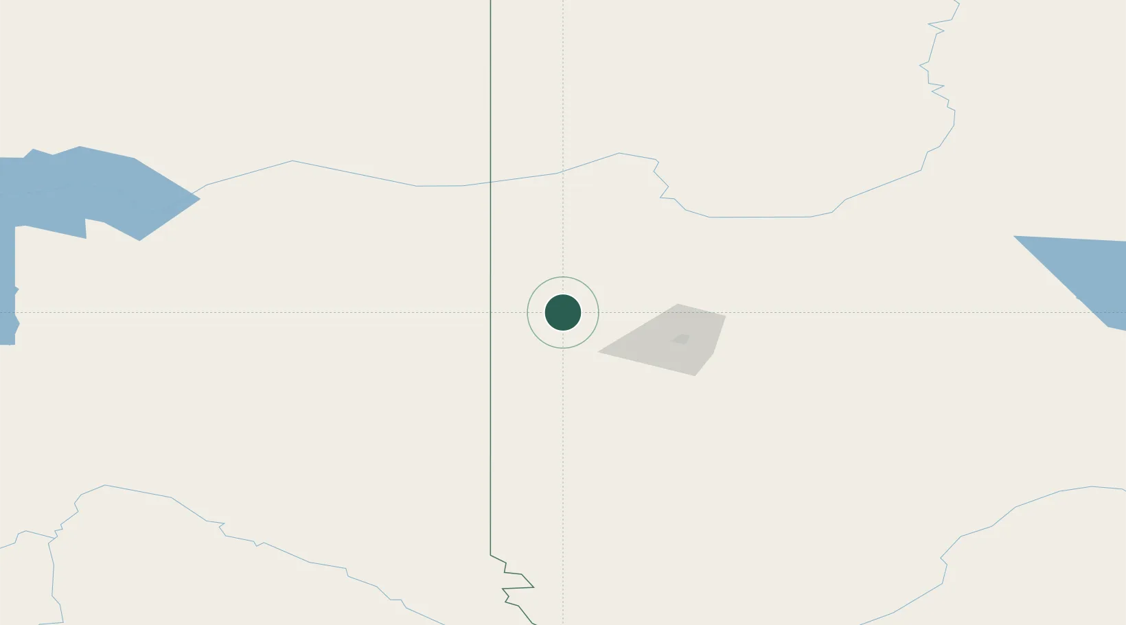
Hub Profile
Place type
Populated place
Region
Alberta
Population
854
Time zone
America/Edmonton
Elevation
744 m
Location
Nearby Logistics Neighbours
Cities
- 1Dimsdale42 km
- 2Sexsmith49 km
- 3Bay Tree59 km
- 4Spirit River66 km
- 5Girouxville147 km
Ports
- 1Port Mellon699 km
- 2Duncan Bay701 km
- 3Port Moody710 km
- 4Mission City712 km
- 5Port Coquitlam713 km
Airports
- 1Grande Prairie Airport46 km
- 2Dawson Creek Airport60 km
- 3Fort St John / North Peace Regional Airport125 km
- 4Chetwynd Airport137 km
- 5Peace River Airport165 km
Trade Zones
- 1PrInce George Logistics Park259 km
- 2Port Alberta - Edmonton FTZ444 km
- 3Calgary Region Inland Port600 km
- 4FTZ Vancouver Island719 km
- 5FTZ No. 128 Whatcom County753 km
DatabookThe Record of Consolidated Knowledge
Canada beyond logistics?