Transport Functions
Rail
Road
Hub Profile
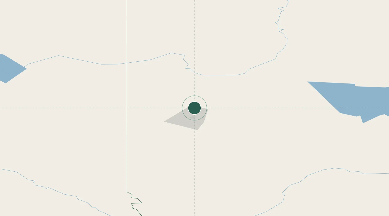
Place type
Populated place
Region
Alberta
Population
2,461
Time zone
America/Edmonton
Elevation
719 m
Location
Nearby Logistics Neighbours
Cities
- 1Dimsdale26 km
- 2Spirit River48 km
- 3Hythe49 km
- 4Bay Tree89 km
- 5Girouxville102 km
Ports
- 1Port Mellon721 km
- 2Mission City727 km
- 3Port Moody728 km
- 4Port Coquitlam730 km
- 5Duncan Bay731 km
Airports
- 1Grande Prairie Airport18 km
- 2Dawson Creek Airport99 km
- 3Peace River Airport130 km
- 4Fort St John / North Peace Regional Airport158 km
- 5Chetwynd Airport183 km
Trade Zones
- 1PrInce George Logistics Park300 km
- 2Port Alberta - Edmonton FTZ400 km
- 3Calgary Region Inland Port570 km
- 4FTZ Vancouver Island738 km
- 5FTZ No. 242 Boundary County744 km
DatabookThe Record of Consolidated Knowledge
Canada beyond logistics?