Medium airport · Canada
Fort St John / North Peace Regional AirportCYXJ
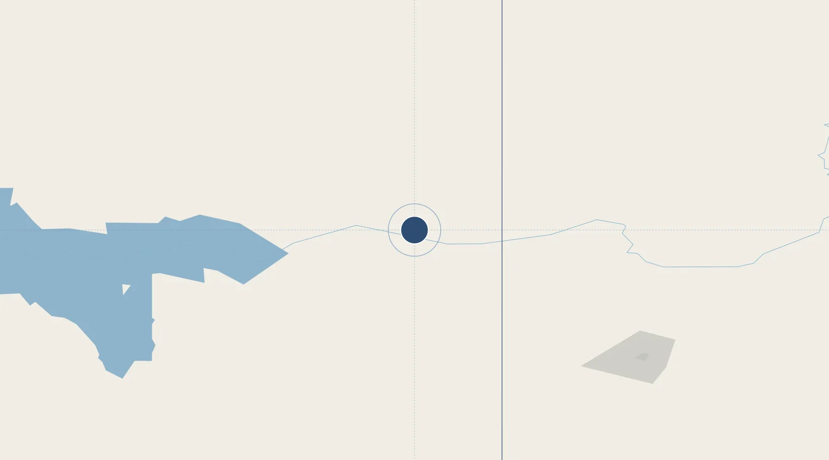
56.2381°, -120.7400°
6,909 ft
Longest runway
2
Runways
2,280 ft
Elevation
Runway & Layout

Radio Frequencies
ATIS
128.5 MHz
A/G
118.5 MHz
MF ST JOHN RDO
CNTR
132.6 MHz
EDMONTON CNTR
FSS
118.5 MHz
RDO
RCO
122.5 MHz
EDMONTON RDO
Navaids
XJ NDB Fort St.jJhn 326 kHz
YXJ VOR-DME Fort St.jJhn 114.20 MHz
ZXJ NDB Taylor 246 kHz
Runways · 2
| Runway | Dimensions | Surface | True heading | Lit |
|---|---|---|---|---|
| 12/30 | 6,909 × 150ft | Asphalt | 135° | ✓ |
| 03/21 | 6,698 × 198ft | Asphalt | 045° | ✓ |
Airport Specifications
IATA code
YXJ
ICAO code
CYXJ
Airport class
Medium airport
Scheduled service
Yes
Runway surface
Asphalt
Served city
Fort Saint John
Location
Nearby Logistics Neighbours
Airports
- 1Dawson Creek Airport65 km
- 2Chetwynd Airport83 km
- 3Grande Prairie Airport165 km
- 4Mackenzie Airport183 km
- 5Peace River Airport204 km
Cities
- 1Bay Tree69 km
- 2Hythe125 km
- 3Spirit River130 km
- 4Sexsmith158 km
- 5Dimsdale165 km
Ports
- 1Kitimat563 km
- 2Stewart575 km
- 3Hyder575 km
- 4Bella Coola583 km
- 5Klemtu645 km
Trade Zones
- 1PrInce George Logistics Park288 km
- 2Port Alberta - Edmonton FTZ555 km
- 3Calgary Region Inland Port725 km
- 4FTZ Vancouver Island794 km
- 5FTZ No. 128 Whatcom County835 km
DatabookThe Record of Consolidated Knowledge
Canada beyond logistics?