Medium airport · Canada
Chetwynd AirportCYCQ
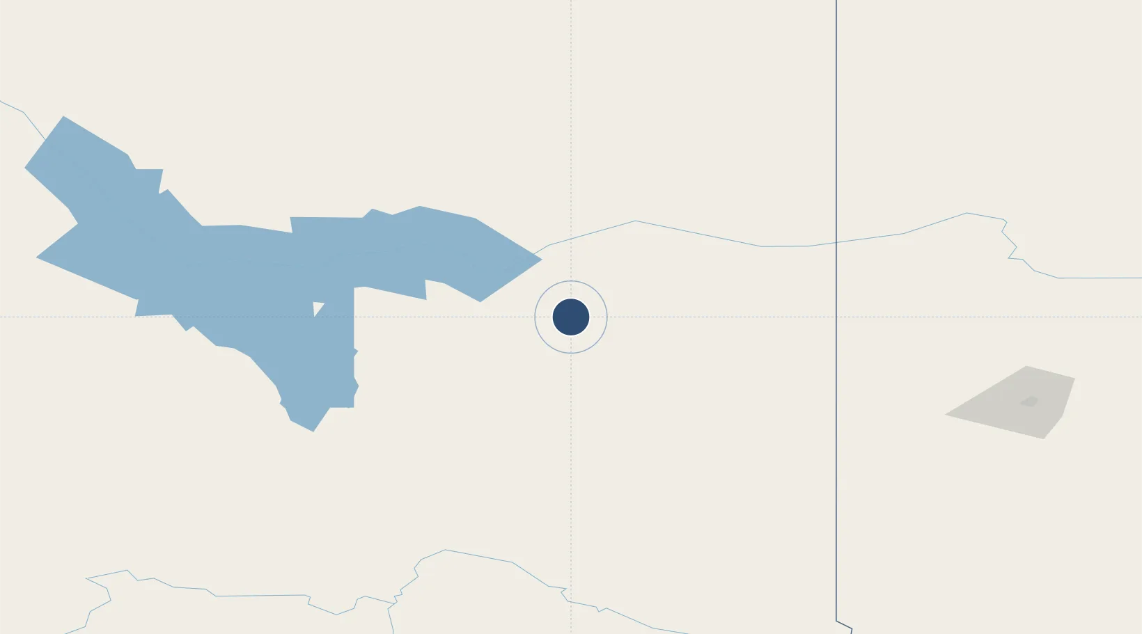
55.6872°, -121.6270°
4,484 ft
Longest runway
1
Runways
2,000 ft
Elevation
Runway & Layout

Radio Frequencies
ATF
123.2 MHz
RCO
126.7 MHz
EDMONTON RDO
Navaids
F6 NDB Chetwynd 210 kHz
Runways · 1
| Runway | Dimensions | Surface | True heading | Lit |
|---|---|---|---|---|
| 05/23 | 4,484 × 100ft | Asphalt | 072° | ✓ |
Airport Specifications
IATA code
YCQ
ICAO code
CYCQ
Airport class
Medium airport
Scheduled service
No
Runway surface
Asphalt
Served city
Chetwynd
Location
Nearby Logistics Neighbours
Airports
- 1Fort St John / North Peace Regional Airport83 km
- 2Dawson Creek Airport91 km
- 3Mackenzie Airport104 km
- 4Ospika Airport165 km
- 5Grande Prairie Airport182 km
Cities
- 1Bay Tree108 km
- 2Hythe137 km
- 3Spirit River175 km
- 4Dimsdale178 km
- 5Sexsmith183 km
Ports
- 1Bella Coola500 km
- 2Alert Bay668 km
- 3Duncan Bay671 km
- 4Port Mcneill674 km
- 5Coal Harbor691 km
Trade Zones
- 1PrInce George Logistics Park210 km
- 2Port Alberta - Edmonton FTZ580 km
- 3Calgary Region Inland Port719 km
- 4FTZ Vancouver Island723 km
- 5FTZ No. 128 Whatcom County767 km
DatabookThe Record of Consolidated Knowledge
Canada beyond logistics?