Medium airport · Canada
Grande Prairie AirportCYQU
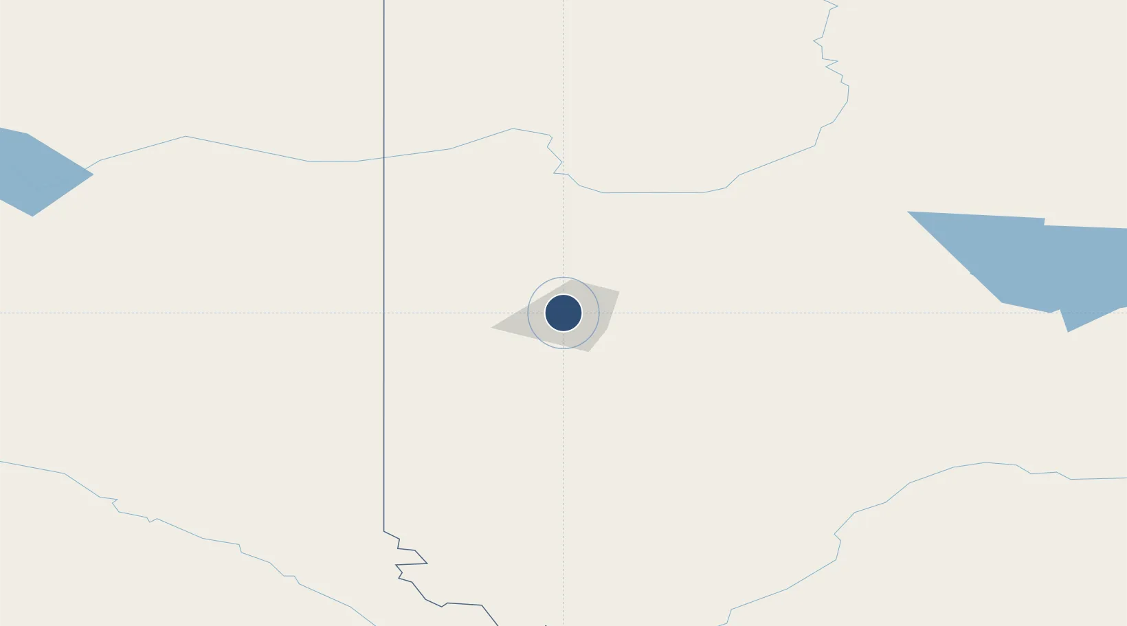
55.1797°, -118.8850°
8,502 ft
Longest runway
2
Runways
2,195 ft
Elevation
Runway & Layout

Radio Frequencies
ATIS
128.6 MHz
A/G
118.1 MHz
MF GRAND PRAIRIE RDO
CNTR
134.5 MHz
EDMONTON CNTR
FSS
118.1 MHz
RDO
RCO
122.5 MHz
EDMONTON RDO
Navaids
QU NDB Grande Prairie 221 kHz
YQU VOR-DME Grande Prairie 113.10 MHz
Runways · 2
| Runway | Dimensions | Surface | True heading | Lit |
|---|---|---|---|---|
| 12/30 | 8,502 × 148ft | Asphalt | 135° | ✓ |
| 07/25 | 6,200 × 200ft | Asphalt | 089° | ✓ |
Airport Specifications
IATA code
YQU
ICAO code
CYQU
Airport class
Medium airport
Scheduled service
Yes
Runway surface
Asphalt
Served city
Grande Prairie
Location
Nearby Logistics Neighbours
Airports
- 1Dawson Creek Airport103 km
- 2Peace River Airport147 km
- 3Fort St John / North Peace Regional Airport165 km
- 4Chetwynd Airport182 km
- 5Whitecourt Airport230 km
Cities
- 1Dimsdale8 km
- 2Sexsmith18 km
- 3Hythe46 km
- 4Spirit River65 km
- 5Bay Tree96 km
Ports
- 1Port Mellon703 km
- 2Mission City709 km
- 3Port Moody710 km
- 4Port Coquitlam712 km
- 5Duncan Bay713 km
Trade Zones
- 1PrInce George Logistics Park286 km
- 2Port Alberta - Edmonton FTZ399 km
- 3Calgary Region Inland Port560 km
- 4FTZ Vancouver Island720 km
- 5FTZ No. 242 Boundary County729 km
DatabookThe Record of Consolidated Knowledge
Canada beyond logistics?