Medium airport · Canada
Dawson Creek AirportCYDQ
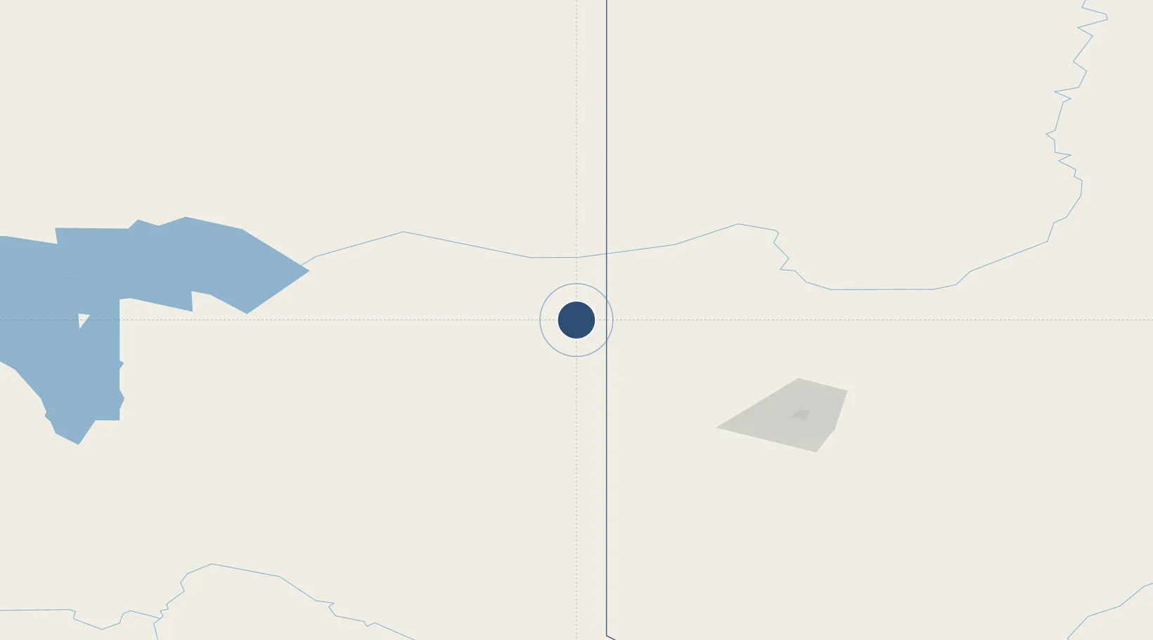
55.7412°, -120.1833°
5,001 ft
Longest runway
1
Runways
2,148 ft
Elevation
Runway & Layout

Radio Frequencies
A/G
122.2 MHz
MF PEACE RIVER RDO
RDO
122.2 MHz
RCO
Runways · 1
| Runway | Dimensions | Surface | True heading | Lit |
|---|---|---|---|---|
| 07/25 | 5,001 × 150ft | Asphalt | 085° | ✓ |
Airport Specifications
IATA code
YDQ
ICAO code
CYDQ
Airport class
Medium airport
Scheduled service
No
Runway surface
Asphalt
Served city
Dawson Creek
Location
Nearby Logistics Neighbours
Airports
- 1Fort St John / North Peace Regional Airport65 km
- 2Chetwynd Airport91 km
- 3Grande Prairie Airport103 km
- 4Peace River Airport179 km
- 5Mackenzie Airport192 km
Cities
- 1Bay Tree19 km
- 2Hythe60 km
- 3Spirit River85 km
- 4Sexsmith99 km
- 5Dimsdale102 km
Ports
- 1Bella Coola572 km
- 2Duncan Bay717 km
- 3Port Mellon727 km
- 4Alert Bay728 km
- 5Port Mcneill735 km
Trade Zones
- 1PrInce George Logistics Park261 km
- 2Port Alberta - Edmonton FTZ499 km
- 3Calgary Region Inland Port660 km
- 4FTZ Vancouver Island749 km
- 5FTZ No. 128 Whatcom County787 km
DatabookThe Record of Consolidated Knowledge
Canada beyond logistics?