Transport Functions
Road
Multimodal
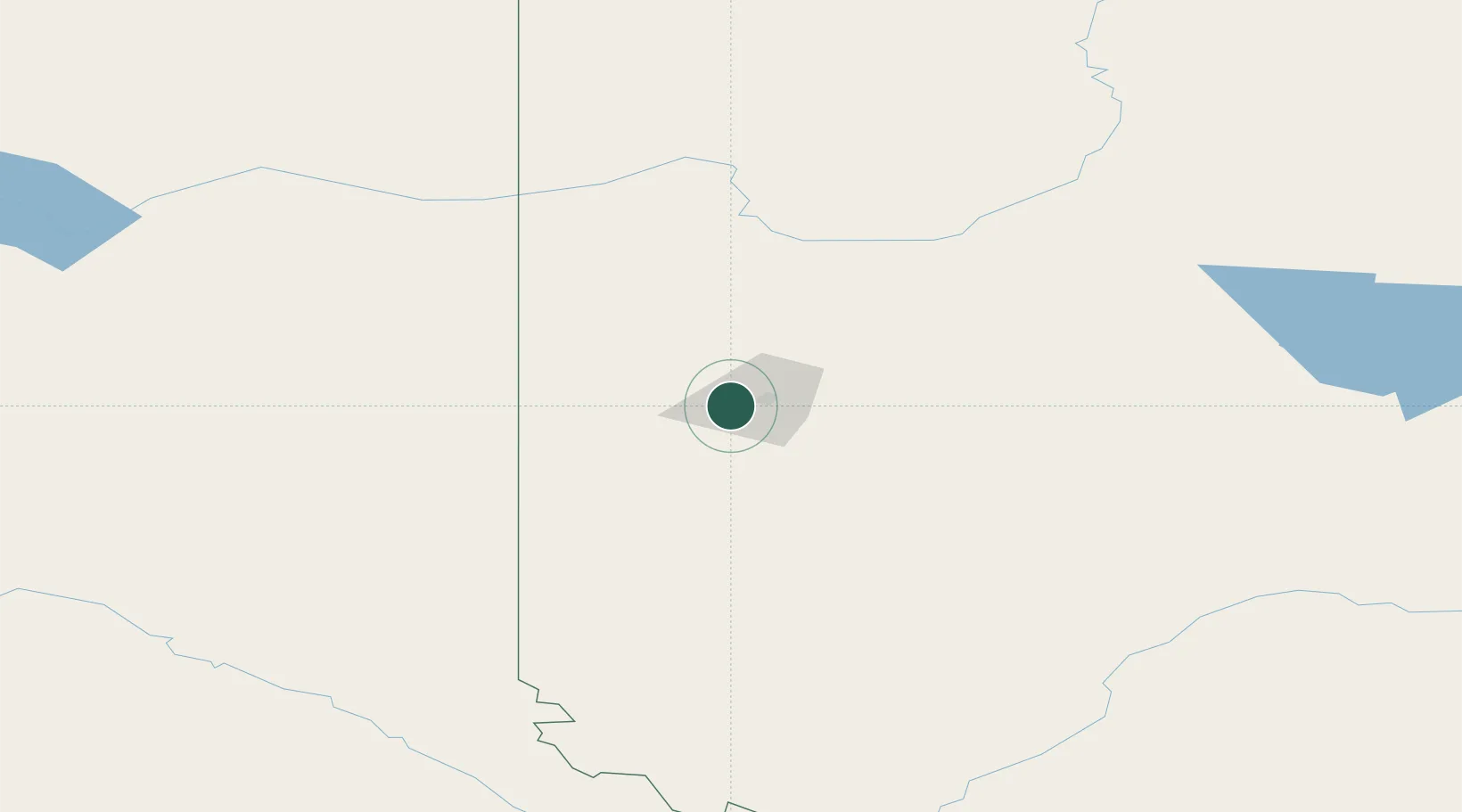
Hub Profile
Place type
Locality
Region
Alberta
Time zone
America/Edmonton
Elevation
676 m
Location
Nearby Logistics Neighbours
Cities
- 1Sexsmith26 km
- 2Hythe42 km
- 3Spirit River71 km
- 4Bay Tree96 km
- 5Girouxville125 km
Ports
- 1Port Mellon695 km
- 2Mission City702 km
- 3Port Moody702 km
- 4Port Coquitlam705 km
- 5Duncan Bay705 km
Airports
- 1Grande Prairie Airport8 km
- 2Dawson Creek Airport102 km
- 3Peace River Airport155 km
- 4Fort St John / North Peace Regional Airport165 km
- 5Chetwynd Airport178 km
Trade Zones
- 1PrInce George Logistics Park278 km
- 2Port Alberta - Edmonton FTZ403 km
- 3Calgary Region Inland Port560 km
- 4FTZ Vancouver Island712 km
- 5FTZ No. 242 Boundary County725 km
DatabookThe Record of Consolidated Knowledge
Canada beyond logistics?