Runway & Layout
Airport Specifications
ICAO code
CAA7
Airport class
Seaplane base
Scheduled service
Yes
Served city
Gilford Island
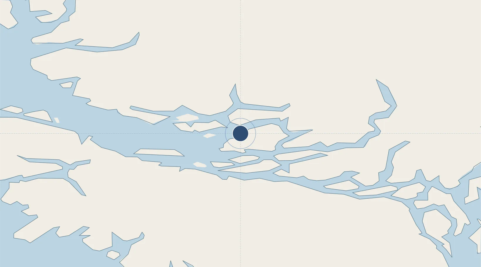
Location
Nearby Logistics Neighbours
Airports
- 1Minstrel Island Seaplane Base22 km
- 2Greenway Sound Seaplane Base22 km
- 3Sullivan Bay Seaplane Base28 km
- 4Alert Bay Airport37 km
- 5Port McNeill Airport44 km
Cities
- 1Beaver Cove39 km
- 2Port McNeill48 km
- 3Sayward61 km
- 4Coal Harbour80 km
- 5Campbell River121 km
Ports
- 1Alert Bay38 km
- 2Port Mcneill47 km
- 3Coal Harbor80 km
- 4Port Alice81 km
- 5Tahsis95 km
Trade Zones
- 1FTZ Vancouver Island294 km
- 2FTZ No. 128 Whatcom County356 km
- 3FTZ No. 129 Bellingham361 km
- 4FTZ No. 173 Grays Harbor430 km
- 5PrInce George Logistics Park432 km
DatabookThe Record of Consolidated Knowledge
Canada beyond logistics?