Transport Functions
Multimodal
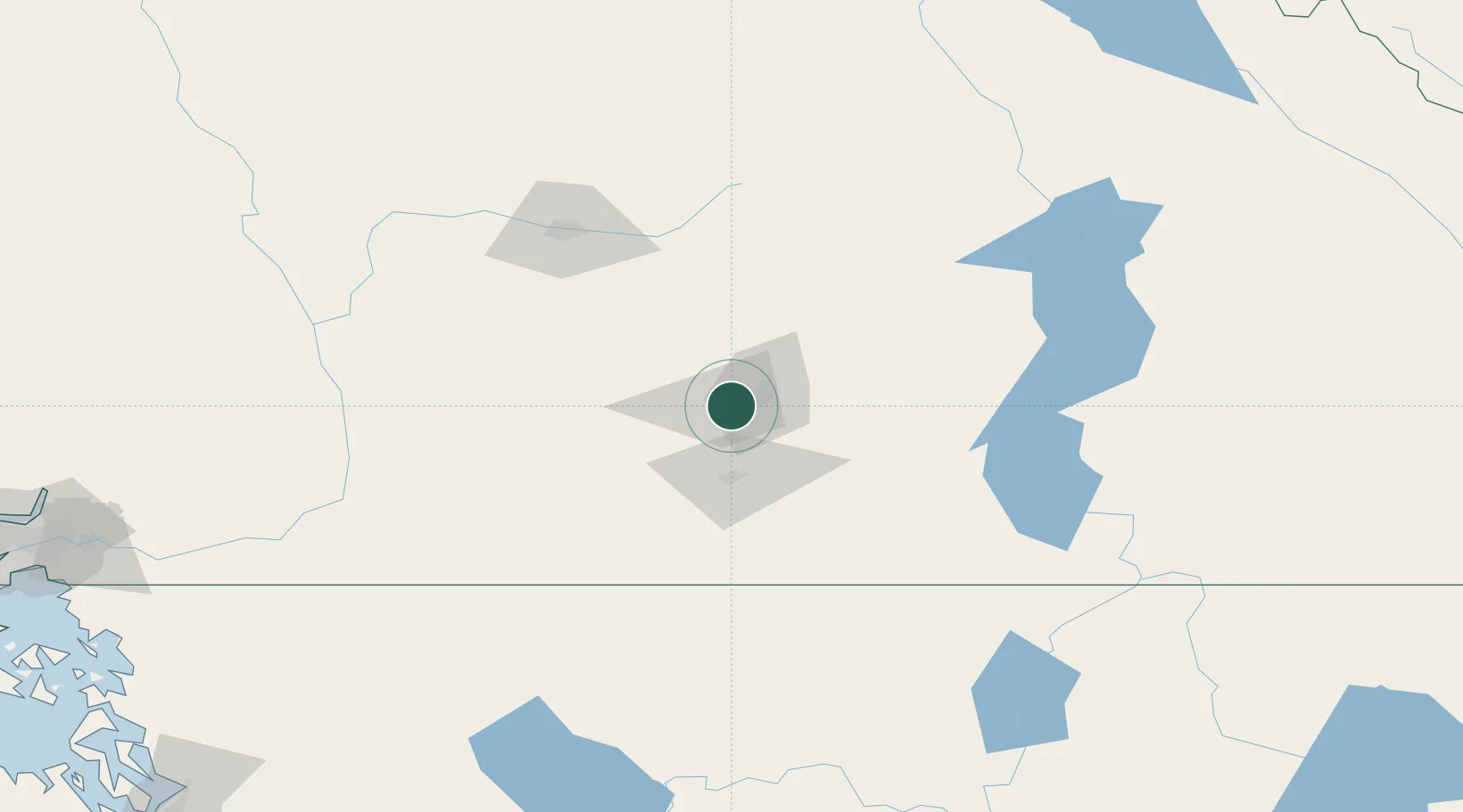
Hub Profile
Place type
Populated place
Region
British Columbia
Population
28,793
Time zone
America/Vancouver
Elevation
484 m
Location
Nearby Logistics Neighbours
Cities
- 1Naramata28 km
- 2Okanagan Falls56 km
- 3Armstrong71 km
- 4Falkland72 km
- 5Cawston75 km
Ports
- 1Mission City208 km
- 2Port Coquitlam240 km
- 3Bellingham244 km
- 4Port Moody246 km
- 5Fraser Mills246 km
Airports
Trade Zones
- 1FTZ No. 242 Boundary County235 km
- 2FTZ No. 128 Whatcom County244 km
- 3FTZ No. 129 Bellingham246 km
- 4FTZ Vancouver Island264 km
- 5FTZ No. 085 Everett282 km
DatabookThe Record of Consolidated Knowledge
Canada beyond logistics?