Transport Functions
Rail
Road
Hub Profile
Place type
Populated place
Region
British Columbia
Population
878
Time zone
America/Vancouver
Elevation
598 m
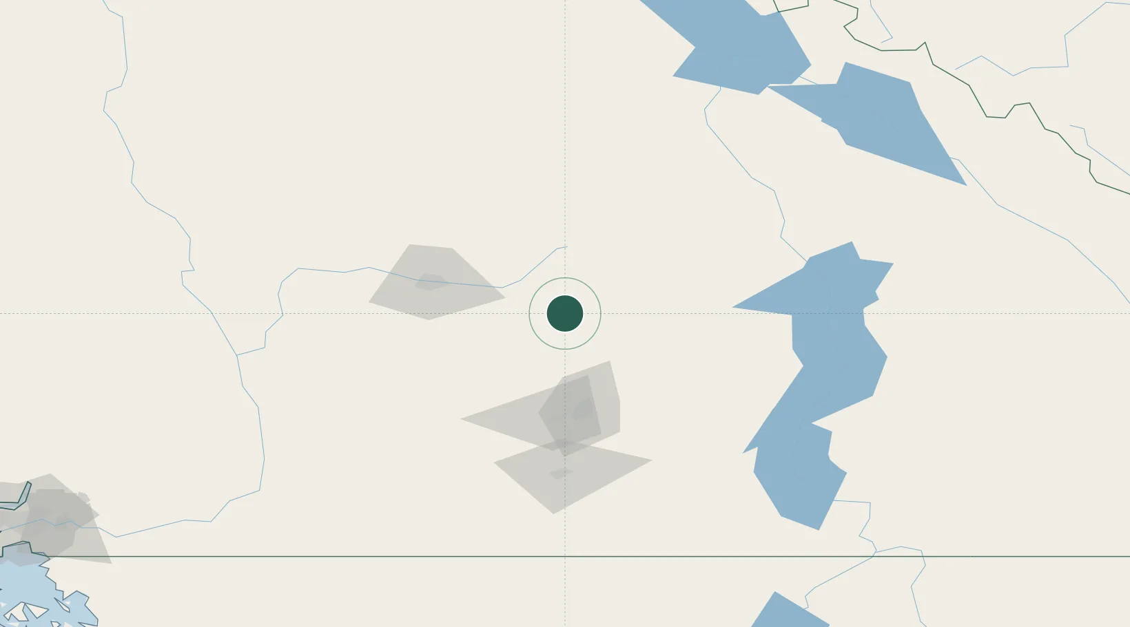
Location
Nearby Logistics Neighbours
Ports
- 1Mission City246 km
- 2Port Coquitlam270 km
- 3Port Moody274 km
- 4Fraser Mills276 km
- 5New Westminster281 km
Airports
Trade Zones
- 1FTZ No. 242 Boundary County277 km
- 2FTZ No. 128 Whatcom County286 km
- 3FTZ No. 129 Bellingham290 km
- 4FTZ Vancouver Island291 km
- 5FTZ No. 085 Everett339 km
DatabookThe Record of Consolidated Knowledge
Canada beyond logistics?