Transport Functions
Rail
Road
Hub Profile
Place type
Populated place
Region
British Columbia
Population
5,323
Time zone
America/Vancouver
Elevation
359 m
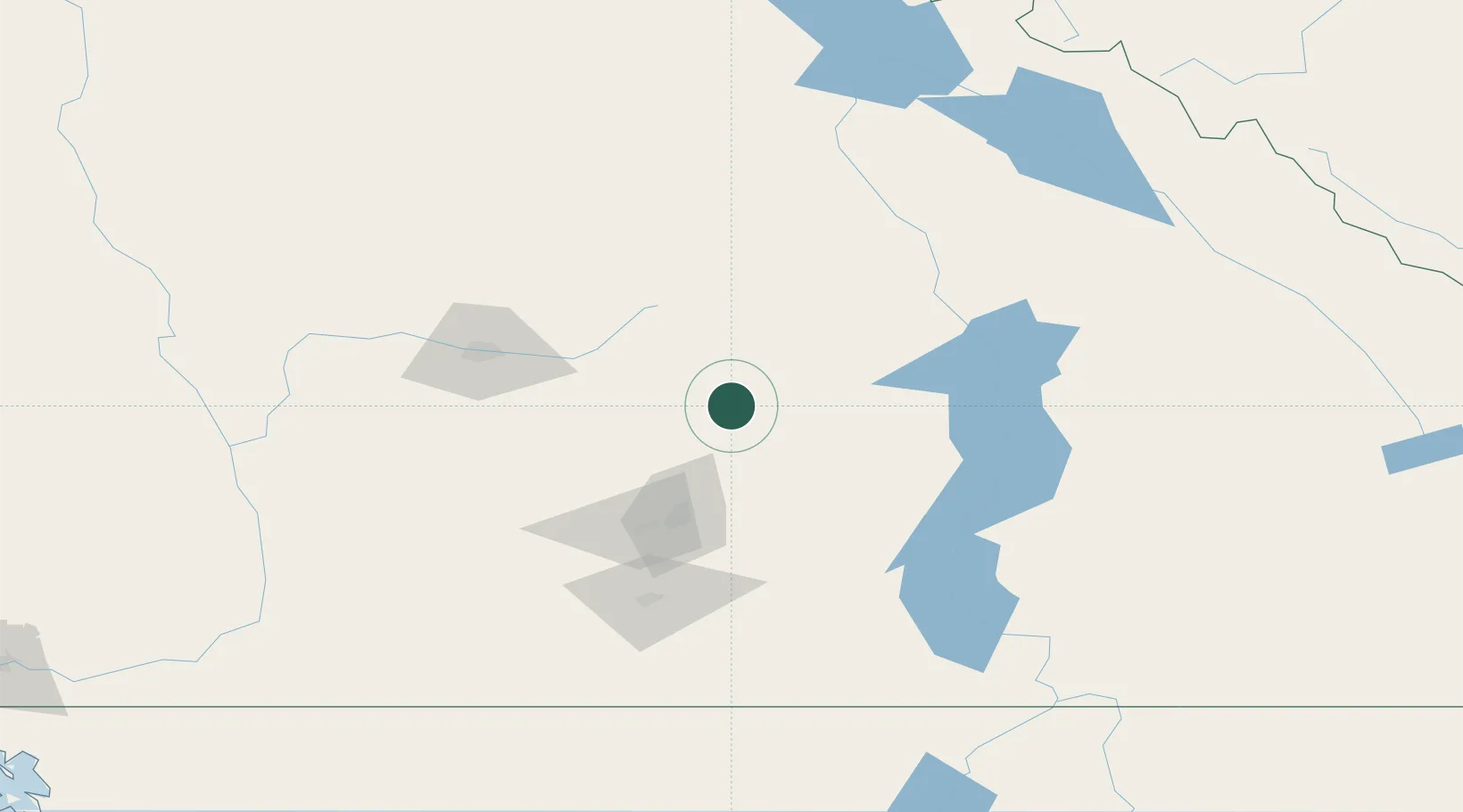
Location
Nearby Logistics Neighbours
Cities
- 1Enderby13 km
- 2Grindrod23 km
- 3Falkland27 km
- 4Cherryville46 km
- 5Sicamous47 km
Ports
- 1Mission City263 km
- 2Port Coquitlam290 km
- 3Port Moody294 km
- 4Fraser Mills296 km
- 5New Westminster301 km
Airports
Trade Zones
- 1FTZ No. 242 Boundary County253 km
- 2FTZ No. 128 Whatcom County302 km
- 3FTZ No. 129 Bellingham305 km
- 4FTZ Vancouver Island311 km
- 5FTZ No. 224 Spokane331 km
DatabookThe Record of Consolidated Knowledge
Canada beyond logistics?