UN/LOCODE hub · Bhutan
BTCCS

Chuchungsa

26.9667°, 88.9333°
2
Transport functions

Transport Functions

Road
Multimodal
UN/LOCODE

Hub Profile

Region
14
GeoNames

Location

Location of BTCCS
Natural Earth 10m (public domain) · 14 · BTCCS · 26.97, 88.93GoogleOSMYandex

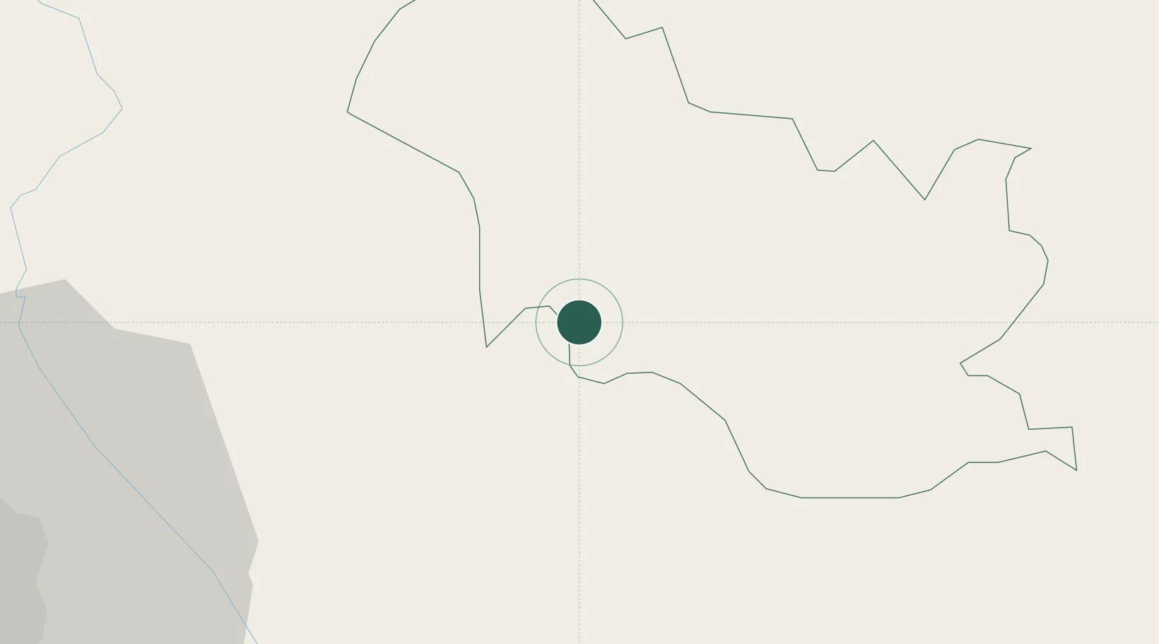
Nearby Logistics Neighbours

Cities
  1. 1Nagarkata Lcs8 km
  2. 2Yangphelthang28 km
  3. 3Pendenling31 km
  4. 4Nyonpaling33 km
  5. 5Phuentsholing45 km
Nearest neighbours — logibook spatial index (haversine) over the source coordinates
Ports
  1. 1Calcutta495 km
  2. 2Mongla505 km
  3. 3Haldia Port557 km
  4. 4Chittagong594 km
  5. 5Dhamra712 km
Nearest neighbours — logibook spatial index (haversine) over the source coordinates
Airports
  1. 1Hashimara Air Force Station53 km
  2. 2Bagdogra Airport68 km
  3. 3Paro International Airport69 km
  4. 4Bhadrapur Airport96 km
  5. 5Taplejung Airport130 km
Nearest neighbours — logibook spatial index (haversine) over the source coordinates
Trade Zones
  1. 1Dhamdum Industrial Park16 km
  2. 2Debiganj Economic Zone: Sujon96 km
  3. 3Panchagarh Economic Zone96 km
  4. 4Nilphamari Economic Zone117 km
  5. 5Uttara Export Processing Zone124 km
Nearest neighbours — logibook spatial index (haversine) over the source coordinates
DatabookThe Record of Consolidated Knowledge
Bhutan beyond logistics?
Browse databook

All Sources

LocationsUN/LOCODE
UN/LOCODE — free
Portsthe NGA World Port Index
Public domain (US gov)
AirportsOurAirports
Public domain
Trade Zonesthe World Bank SEZ database
CC BY 4.0
Trade ZonesOpen Zone Map
CC BY
← Bhutan locations