Medium airport · Bangladesh
Saidpur AirportVGSD
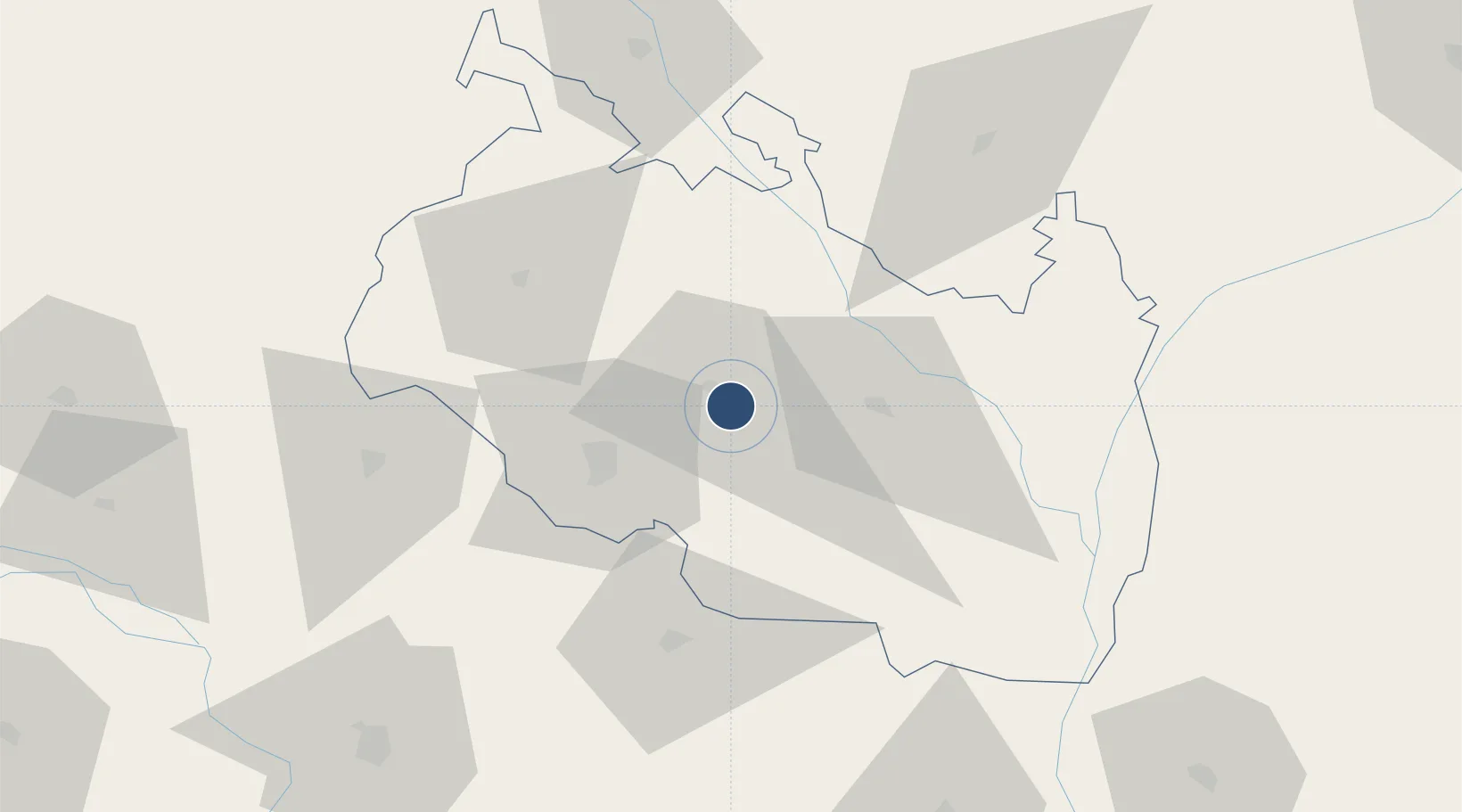
25.7592°, 88.9089°
6,000 ft
Longest runway
1
Runways
125 ft
Elevation
Runway & Layout

Radio Frequencies
TWR
122.9 MHz
Navaids
SD NDB Saidpur 268 kHz
SDP VOR Saidpur 115.80 MHz
Runways · 1
| Runway | Dimensions | Surface | True heading | Lit |
|---|---|---|---|---|
| 16/34 | 6,000 × 100ft | Asphalt | 160° | ✓ |
Airport Specifications
IATA code
SPD
ICAO code
VGSD
Airport class
Medium airport
Scheduled service
Yes
Runway surface
Asphalt
Served city
Saidpur
Location
Nearby Logistics Neighbours
Airports
- 1Hashimara Air Force Station114 km
- 2Bagdogra Airport118 km
- 3Bhadrapur Airport123 km
- 4Baljek Airport144 km
- 5Shah Makhdum Airport150 km
Cities
- 1Changrabandha73 km
- 2Raiganj Railway Station Lcs81 km
- 3Birpara Lcs86 km
- 4Loksan Lcs86 km
- 5Kushtia93 km
Ports
- 1Calcutta362 km
- 2Mongla373 km
- 3Haldia Port425 km
- 4Chittagong483 km
- 5Dhamra584 km
Trade Zones
DatabookThe Record of Consolidated Knowledge
Bangladesh beyond logistics?