Transport Functions
Road
Multimodal
Hub Profile
Region
14
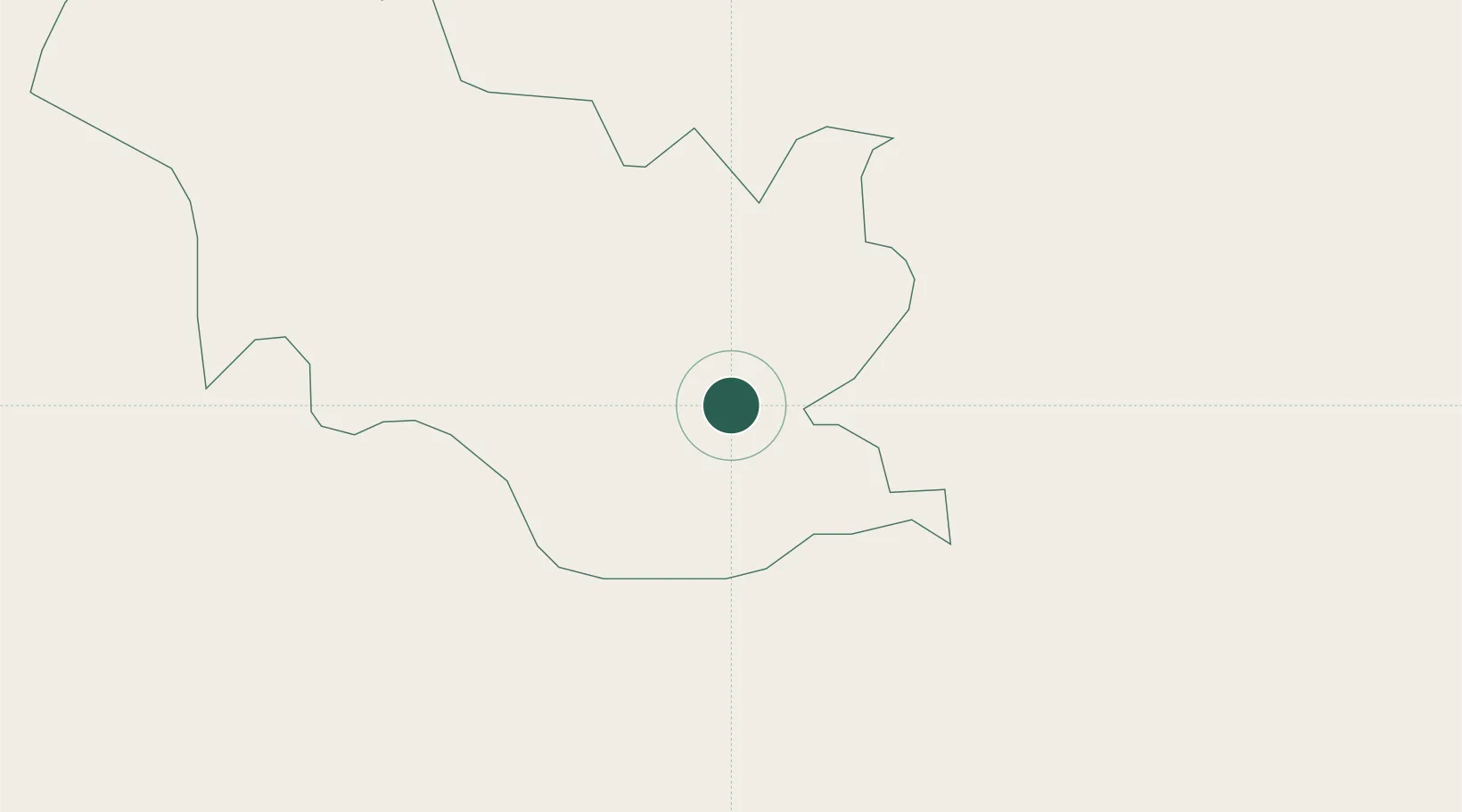
Location
Nearby Logistics Neighbours
Cities
- 1Nyonpaling13 km
- 2Pendenling15 km
- 3Phuentsholing18 km
- 4Pasakha23 km
- 5Chuchungsa28 km
Ports
- 1Calcutta496 km
- 2Mongla498 km
- 3Haldia Port559 km
- 4Chittagong577 km
- 5Dhamra718 km
Airports
- 1Hashimara Air Force Station30 km
- 2Paro International Airport56 km
- 3Bagdogra Airport93 km
- 4Bhadrapur Airport120 km
- 5Gelephu Airport124 km
Trade Zones
- 1Dhamdum Industrial Park14 km
- 2Debiganj Economic Zone: Sujon101 km
- 3Panchagarh Economic Zone102 km
- 4Jigmeling Industrial Park104 km
- 5Nilphamari Economic Zone122 km
DatabookThe Record of Consolidated Knowledge
Bhutan beyond logistics?