UN/LOCODE hub · Bhutan
BTPDL

Pendenling

26.8000°, 89.1833°
2
Transport functions

Transport Functions

Road
Multimodal
UN/LOCODE

Hub Profile

Region
14
GeoNames

Location

Location of BTPDL
Natural Earth 10m (public domain) · 14 · BTPDL · 26.80, 89.18GoogleOSMYandex

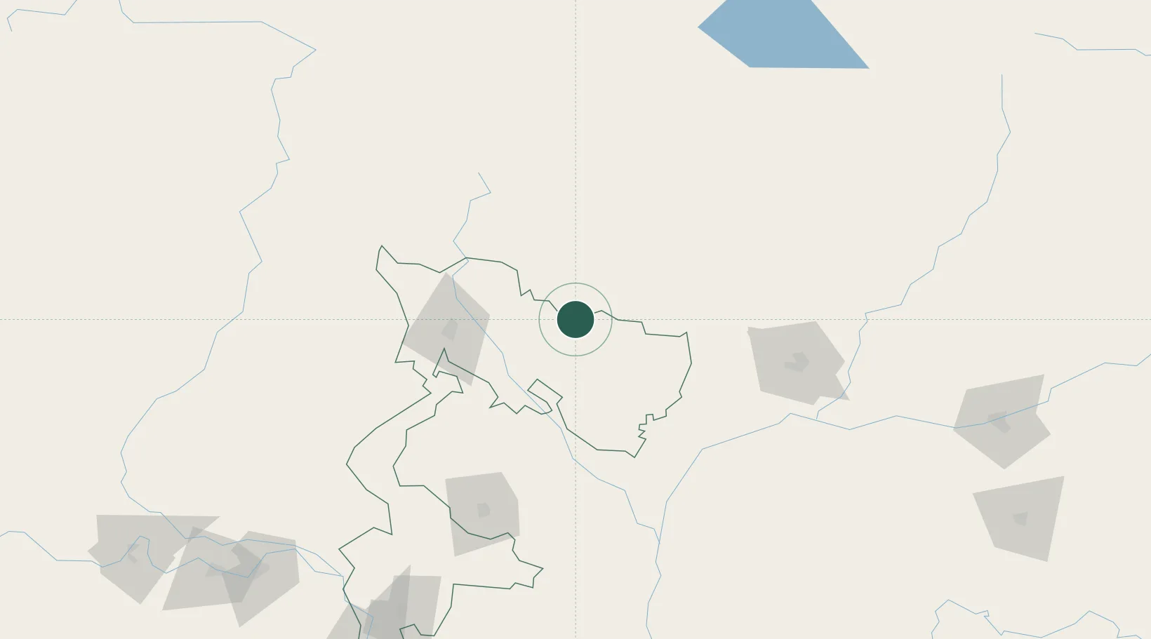
Nearby Logistics Neighbours

Cities
  1. 1Nyonpaling4 km
  2. 2Yangphelthang15 km
  3. 3Phuentsholing19 km
  4. 4Pasakha23 km
  5. 5Nagarkata Lcs29 km
Nearest neighbours — logibook spatial index (haversine) over the source coordinates
Ports
  1. 1Calcutta480 km
  2. 2Mongla484 km
  3. 3Haldia Port543 km
  4. 4Chittagong565 km
  5. 5Dhamra702 km
Nearest neighbours — logibook spatial index (haversine) over the source coordinates
Airports
  1. 1Hashimara Air Force Station22 km
  2. 2Paro International Airport71 km
  3. 3Bagdogra Airport86 km
  4. 4Bhadrapur Airport113 km
  5. 5Saidpur Airport119 km
Nearest neighbours — logibook spatial index (haversine) over the source coordinates
Trade Zones
  1. 1Dhamdum Industrial Park16 km
  2. 2Debiganj Economic Zone: Sujon87 km
  3. 3Panchagarh Economic Zone87 km
  4. 4Nilphamari Economic Zone107 km
  5. 5Jigmeling Industrial Park108 km
Nearest neighbours — logibook spatial index (haversine) over the source coordinates
DatabookThe Record of Consolidated Knowledge
Bhutan beyond logistics?
Browse databook

All Sources

LocationsUN/LOCODE
UN/LOCODE — free
Portsthe NGA World Port Index
Public domain (US gov)
AirportsOurAirports
Public domain
Trade Zonesthe World Bank SEZ database
CC BY 4.0
Trade ZonesOpen Zone Map
CC BY
← Bhutan locations