Transport Functions
Road
Multimodal
Hub Profile
Region
14
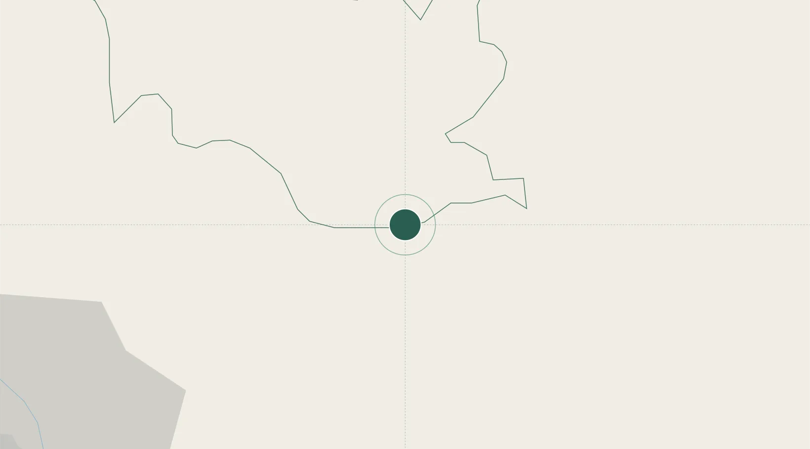
Location
Nearby Logistics Neighbours
Cities
- 1Pendenling4 km
- 2Yangphelthang13 km
- 3Phuentsholing15 km
- 4Pasakha20 km
- 5Nagarkata Lcs31 km
Ports
- 1Calcutta483 km
- 2Mongla485 km
- 3Haldia Port546 km
- 4Chittagong565 km
- 5Dhamra705 km
Airports
- 1Hashimara Air Force Station20 km
- 2Paro International Airport68 km
- 3Bagdogra Airport90 km
- 4Bhadrapur Airport116 km
- 5Saidpur Airport122 km
Trade Zones
- 1Dhamdum Industrial Park17 km
- 2Debiganj Economic Zone: Sujon90 km
- 3Panchagarh Economic Zone90 km
- 4Jigmeling Industrial Park104 km
- 5Nilphamari Economic Zone110 km
DatabookThe Record of Consolidated Knowledge
Bhutan beyond logistics?