Transport Functions
Port
Road
Hub Profile
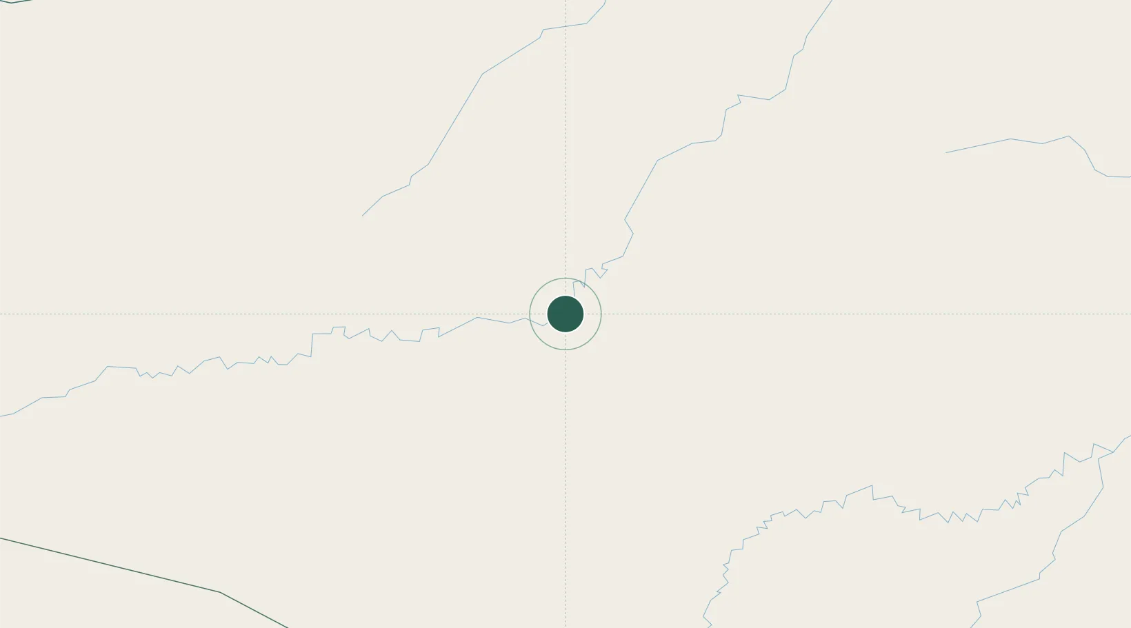
Place type
Populated place
Region
Amazonas
Population
11,730
Time zone
America/Manaus
Elevation
111 m
Location
Nearby Logistics Neighbours
Cities
- 1Eirunepé181 km
- 2Carauari230 km
- 3Benjamin Constant303 km
- 4Tabatinga310 km
- 5Leticia310 km
Ports
- 1Iquitos629 km
- 2Manaus982 km
- 3Chancay1144 km
- 4Itacoatiara1144 km
- 5Bahia De Ancon1147 km
Airports
- 1Carauari Airport228 km
- 2Tabatinga International Airport307 km
- 3Alfredo Vásquez Cobo International Airport313 km
- 4Tarauacá Airport340 km
- 5Caballococha Airport377 km
DatabookThe Record of Consolidated Knowledge
Brazil beyond logistics?