Transport Functions
Port
Road
Airport
Hub Profile
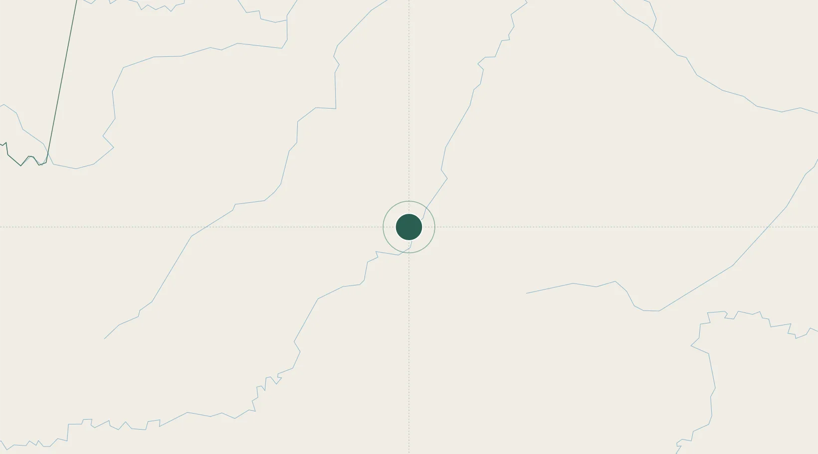
Place type
Populated place
Region
Amazonas
Population
30,892
Time zone
America/Manaus
Elevation
65 m
Location
Nearby Logistics Neighbours
Cities
- 1Itamarati230 km
- 2Tonantins245 km
- 3São Paulo de Olivença277 km
- 4Fonte Boa278 km
- 5Tefé296 km
Ports
- 1Iquitos715 km
- 2Manaus786 km
- 3Itacoatiara955 km
- 4Chancay1363 km
- 5Puerto Supe1366 km
Airports
- 1Carauari Airport2 km
- 2Tefé Airport291 km
- 3Tabatinga International Airport345 km
- 4Alfredo Vásquez Cobo International Airport347 km
- 5Lábrea Airport356 km
Trade Zones
DatabookThe Record of Consolidated Knowledge
Brazil beyond logistics?