Small airport · Brazil

Carauari AirportSWCA
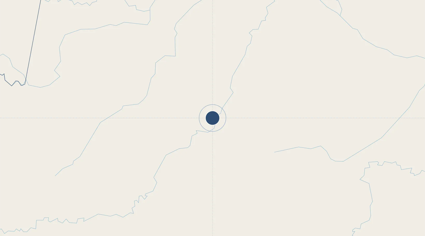
-4.8715°, -66.8976°
5,463 ft
Longest runway
1
Runways
355 ft
Elevation

Runway & Layout

Carauari Airport runway & taxiway layout
Runway & taxiway layout — OpenStreetMap (ODbL) / OurAirports

Runways · 1

RunwayDimensions SurfaceTrue headingLit
4/22 5,463 × 59ft Asphalt
OurAirports

Airport Specifications

IATA code
CAF
OurAirports
ICAO code
SWCA
OurAirports
Airport class
Small airport
OurAirports
Scheduled service
Yes
OurAirports
Runway surface
Asphalt
OurAirports
Served city
Carauari
OurAirports

Location

Location of SWCA
Natural Earth 10m (public domain) · Amazonas · SWCA · -4.87, -66.90GoogleOSMYandex

Nearby Logistics Neighbours

Airports
  1. 1Tefé Airport292 km
  2. 2Tabatinga International Airport344 km
  3. 3Alfredo Vásquez Cobo International Airport346 km
  4. 4Lábrea Airport356 km
  5. 5Tarapacá Airport385 km
Nearest neighbours — logibook spatial index (haversine) over the source coordinates
Cities
  1. 1Carauari2 km
  2. 2Itamarati228 km
  3. 3Tonantins245 km
  4. 4São Paulo de Olivença276 km
  5. 5Fonte Boa279 km
Nearest neighbours — logibook spatial index (haversine) over the source coordinates
Ports
  1. 1Iquitos714 km
  2. 2Manaus787 km
  3. 3Itacoatiara956 km
  4. 4Chancay1361 km
  5. 5Puerto Supe1365 km
Nearest neighbours — logibook spatial index (haversine) over the source coordinates
Trade Zones
  1. 1ZPE do Acre (AC)583 km
  2. 2Cobija Commercial and Industrial Free Zone727 km
  3. 3Zona Franca de Manaus - Suframa (Manaus Free Zone)792 km
  4. 4ZPE de Boa Vista (RR)1097 km
  5. 5Lethem Industrial Estate1210 km
Nearest neighbours — logibook spatial index (haversine) over the source coordinates
DatabookThe Record of Consolidated Knowledge
Brazil beyond logistics?
Browse databook

All Sources

AirportsOurAirports
Public domain
Portsthe NGA World Port Index
Public domain (US gov)
LocationsUN/LOCODE
UN/LOCODE — free
Trade Zonesthe World Bank SEZ database
CC BY 4.0
Trade ZonesOpen Zone Map
CC BY
InfrastructureOpenStreetMap
ODbL 1.0
← Brazil airports