Medium airport · Brazil

Tarauacá AirportSBTK
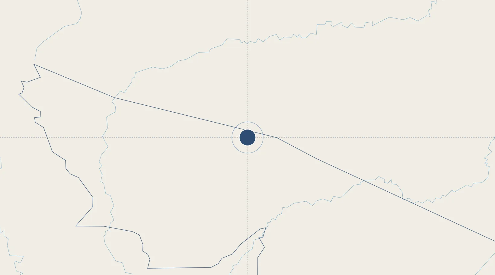
-8.1555°, -70.7830°
3,707 ft
Longest runway
1
Runways
646 ft
Elevation

Runway & Layout

Tarauacá Airport runway & taxiway layout
Runway & taxiway layout — OpenStreetMap (ODbL) / OurAirports

Radio Frequencies

AFIS
125.9 MHz
RDO
OurAirports

Runways · 1

RunwayDimensions SurfaceTrue headingLit
14/32 3,707 × 46ft Asphalt
OurAirports

Airport Specifications

IATA code
TRQ
OurAirports
ICAO code
SBTK
OurAirports
Airport class
Medium airport
OurAirports
Scheduled service
No
OurAirports
Runway surface
Asphalt
OurAirports
Served city
Tarauacá
OurAirports

Location

Location of SBTK
Natural Earth 10m (public domain) · Acre · SBTK · -8.16, -70.78GoogleOSMYandex

Nearby Logistics Neighbours

Airports
  1. 1Cruzeiro do Sul Airport227 km
  2. 2Rio Branco-Plácido de Castro International Airport370 km
  3. 3Capitán Aníbal Arab Airport388 km
  4. 4Iberia Airport389 km
  5. 5Cap FAP David Abenzur Rengifo International Airport418 km
Nearest neighbours — logibook spatial index (haversine) over the source coordinates
Cities
  1. 1Ipixuna158 km
  2. 2Eirunepé195 km
  3. 3Guajará208 km
  4. 4Porto Walter215 km
  5. 5Cruzeiro do Sul216 km
Nearest neighbours — logibook spatial index (haversine) over the source coordinates
Ports
  1. 1Iquitos560 km
  2. 2Chancay804 km
  3. 3Bahia De Ancon807 km
  4. 4La Pampilla Oil Terminal812 km
  5. 5Conchan Oil Terminal814 km
Nearest neighbours — logibook spatial index (haversine) over the source coordinates
DatabookThe Record of Consolidated Knowledge
Brazil beyond logistics?
Browse databook

All Sources

AirportsOurAirports
Public domain
Portsthe NGA World Port Index
Public domain (US gov)
LocationsUN/LOCODE
UN/LOCODE — free
Trade Zonesthe World Bank SEZ database
CC BY 4.0
Trade ZonesOpen Zone Map
CC BY
InfrastructureOpenStreetMap
ODbL 1.0
← Brazil airports