Channel & Berth Profile
Pilotage, Tugs & Services
Pilotage compulsoryNO
Pilotage availableNO
Tug assistanceYES
Potable waterNO
Diesel bunkersNO
MedicalYES
Facilities & Capabilities
Container—
Ro-Ro—
Liquid bulk—
Dry bulk—
Oil terminal—
Break bulk—
Dry dock—
Repairs—
BunkeringNO
Rail linkYES
Dangerous cargo—
ISPS securityYES
Harbour Specifications
Harbour size
Very Small
Harbour type
Open Roadstead
Shelter
Fair
Water body
South Pacific Ocean
Tidal range
2 m
Pilotage
No
Liner Connectivity
93.7
PLSCI
Port Liner Shipping Connectivity Index for Chancay, as published by UNCTAD for the latest available quarter. Higher values indicate stronger scheduled liner-shipping integration.
Shown relative to the highest per-port PLSCI in the dataset (1,657.9).
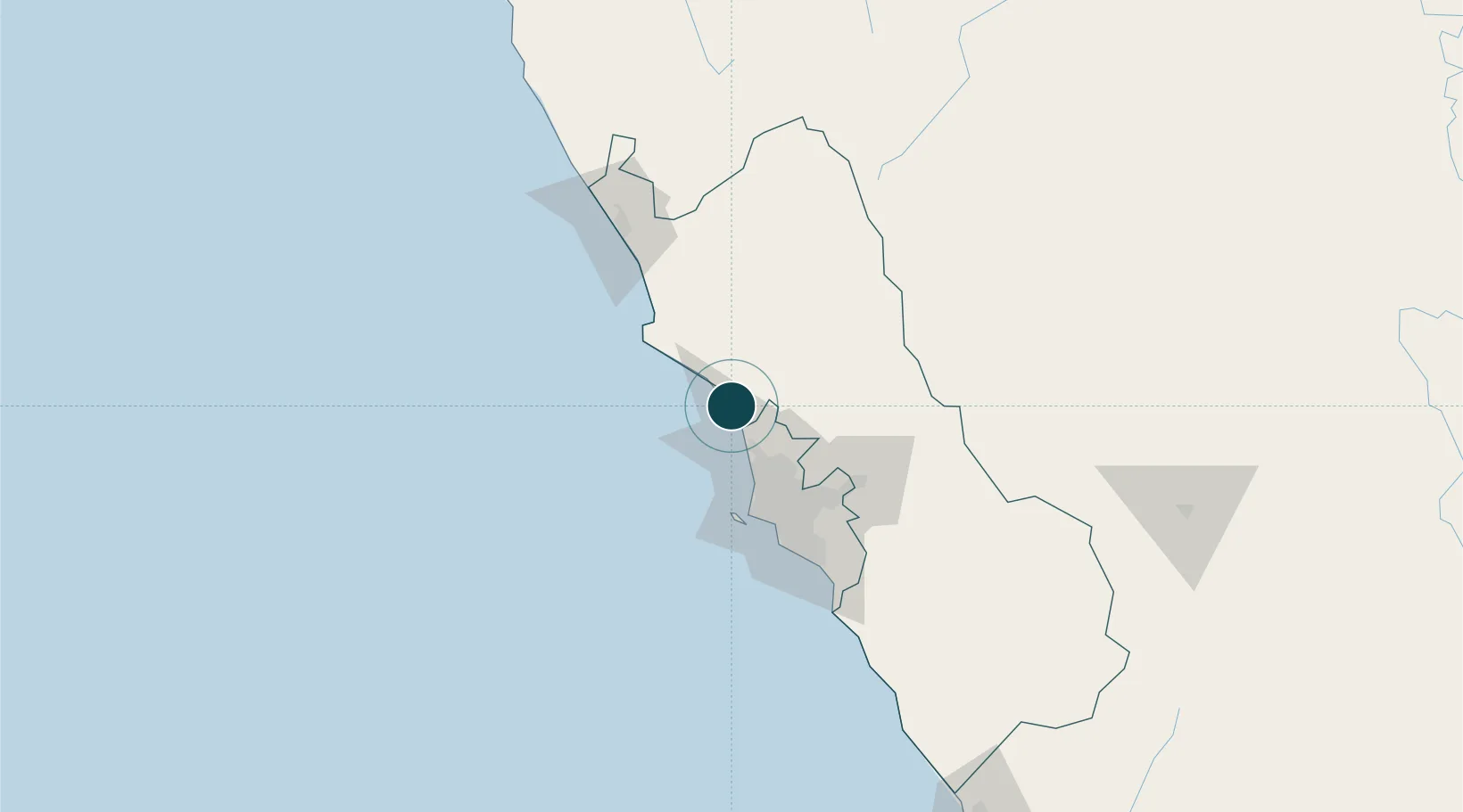
Location
Container Terminals · 1
CSP CHANCAY CONTAINER TERMINAL
CSP COSCO SHIPPING PORTS CHANCAY PERU S.A.
Nearby Logistics Neighbours
Ports
- 1Bahia De Ancon20 km
- 2La Pampilla Oil Terminal41 km
- 3Puerto Del Callao53 km
- 4Puerto De Huacho66 km
- 5Conchan Oil Terminal70 km
Cities
- 1Huaral12 km
- 2Ancón22 km
- 3Callao50 km
- 4Lima56 km
- 5San Isidro63 km
Airports
- 1Jorge Chávez International Airport51 km
- 2Francisco Carle Airport195 km
- 3Alferez Fap David Figueroa Fernandini Airport221 km
- 4Huancayo Airport230 km
- 5Pozuzo Airport251 km
Trade Zones
- 1Zona Especial de Desarrollo Matarani (Special Development Zone of Matarani)820 km
- 2Zona Especial de Desarrollo Paita (Special Development Zone of Paita)836 km
- 3Cobija Commercial and Industrial Free Zone923 km
- 4Zona Franca del Oro967 km
- 5Zona Franca de Tacna (Free Trade Zone of Tacna (ZOFRATACNA)1038 km
DatabookThe Record of Consolidated Knowledge
Peru beyond logistics?