UN/LOCODE hub · Brazil
BRVDX
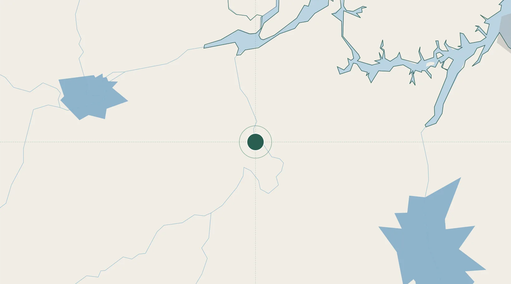
Vitória do Xingu
-2.8833°, -52.0000°
15,607
Population
2
Transport functions
Transport Functions
Port
Road
Hub Profile
Place type
Populated place
Region
Pará
Population
15,607
Time zone
America/Santarem
Elevation
6 m
Location
Nearby Logistics Neighbours
Cities
- 1Senador José Porfírio34 km
- 2Altamira42 km
- 3Porto de Moz131 km
- 4Almeirim165 km
- 5Portel169 km
Ports
- 1Cameta287 km
- 2Santarem306 km
- 3Porto Santana328 km
- 4Vila Do Conde390 km
- 5Belem420 km
Airports
- 1Altamira Interstate Airport50 km
- 2Almeirim Airport169 km
- 3Breves Airport222 km
- 4Monte Dourado - Serra do Areão Airport232 km
- 5Tucuruí Airport272 km
Trade Zones
- 1ZPE de Barcarena (PA)404 km
- 2ZPE de Araguaína (TO)635 km
- 3ZPE de São Luís853 km
- 4Zona Franca de Manaus - Suframa (Manaus Free Zone)886 km
- 5Lethem Industrial Estate1113 km
DatabookThe Record of Consolidated Knowledge
Brazil beyond logistics?