Transport Functions
Port
Road
Airport
Hub Profile
Place type
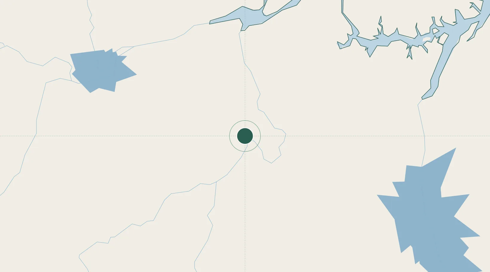
Populated place
Region
Pará
Population
126,279
Time zone
America/Santarem
Elevation
101 m
Location
Nearby Logistics Neighbours
Cities
- 1Vitória do Xingu42 km
- 2Senador José Porfírio74 km
- 3Porto de Moz163 km
- 4Almeirim192 km
- 5Portel208 km
Ports
- 1Santarem293 km
- 2Cameta318 km
- 3Porto Santana368 km
- 4Vila Do Conde425 km
- 5Belem455 km
Airports
- 1Altamira Interstate Airport8 km
- 2Almeirim Airport196 km
- 3Monte Dourado - Serra do Areão Airport261 km
- 4Breves Airport261 km
- 5Tucuruí Airport283 km
Trade Zones
- 1ZPE de Barcarena (PA)439 km
- 2ZPE de Araguaína (TO)624 km
- 3Zona Franca de Manaus - Suframa (Manaus Free Zone)863 km
- 4ZPE de São Luís877 km
- 5Lethem Industrial Estate1118 km
DatabookThe Record of Consolidated Knowledge
Brazil beyond logistics?