Transport Functions
Port
Road
Hub Profile
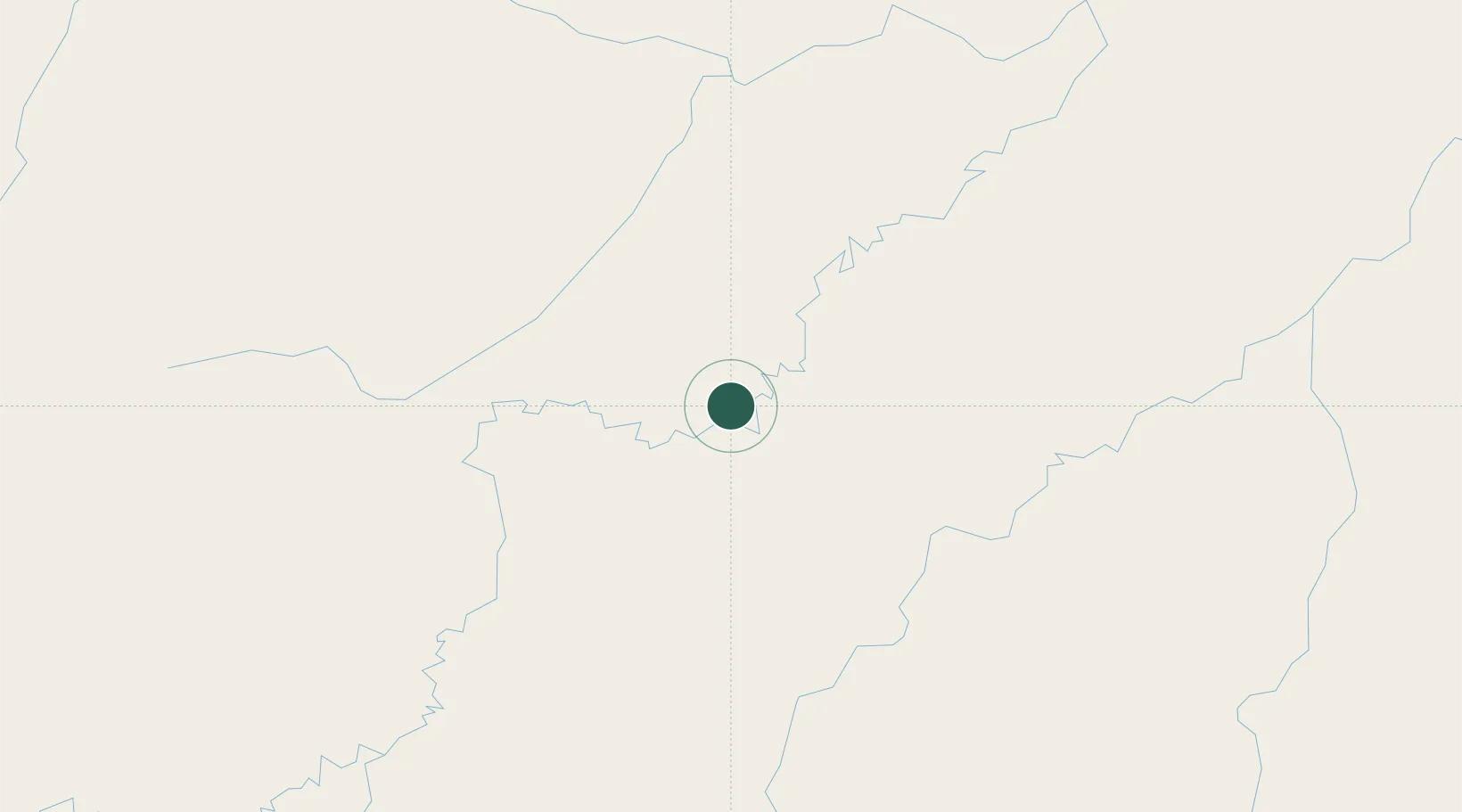
Place type
Populated place
Region
Amazonas
Population
20,501
Time zone
America/Manaus
Elevation
48 m
Location
Nearby Logistics Neighbours
Ports
- 1Manaus447 km
- 2Itacoatiara592 km
- 3Santarem1004 km
- 4Iquitos1133 km
- 5Linden1401 km
Airports
- 1Manicoré Airport212 km
- 2Lábrea Airport255 km
- 3Tefé Airport301 km
- 4Governador Jorge Teixeira de Oliveira International Airport353 km
- 5Borba Airport419 km
Trade Zones
DatabookThe Record of Consolidated Knowledge
Brazil beyond logistics?