Transport Functions
Port
Road
Airport
Hub Profile
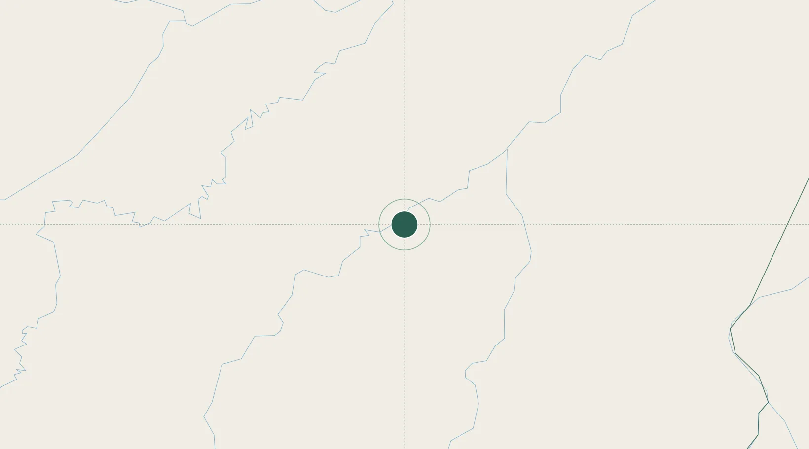
Place type
Populated place
Region
Amazonas
Population
57,758
Time zone
America/Manaus
Elevation
38 m
Location
Nearby Logistics Neighbours
Cities
- 1Novo Aripuanã127 km
- 2Tapauá211 km
- 3Beruri213 km
- 4Codajás235 km
- 5Borba246 km
Ports
- 1Manaus328 km
- 2Itacoatiara431 km
- 3Santarem820 km
- 4Porto Santana1291 km
- 5Iquitos1344 km
Airports
- 1Manicoré Airport1 km
- 2Borba Airport242 km
- 3Ponta Pelada Airport / Manaus Air Base328 km
- 4Eduardo Gomes International Airport336 km
- 5Jacareacanga Airport391 km
Trade Zones
DatabookThe Record of Consolidated Knowledge
Brazil beyond logistics?